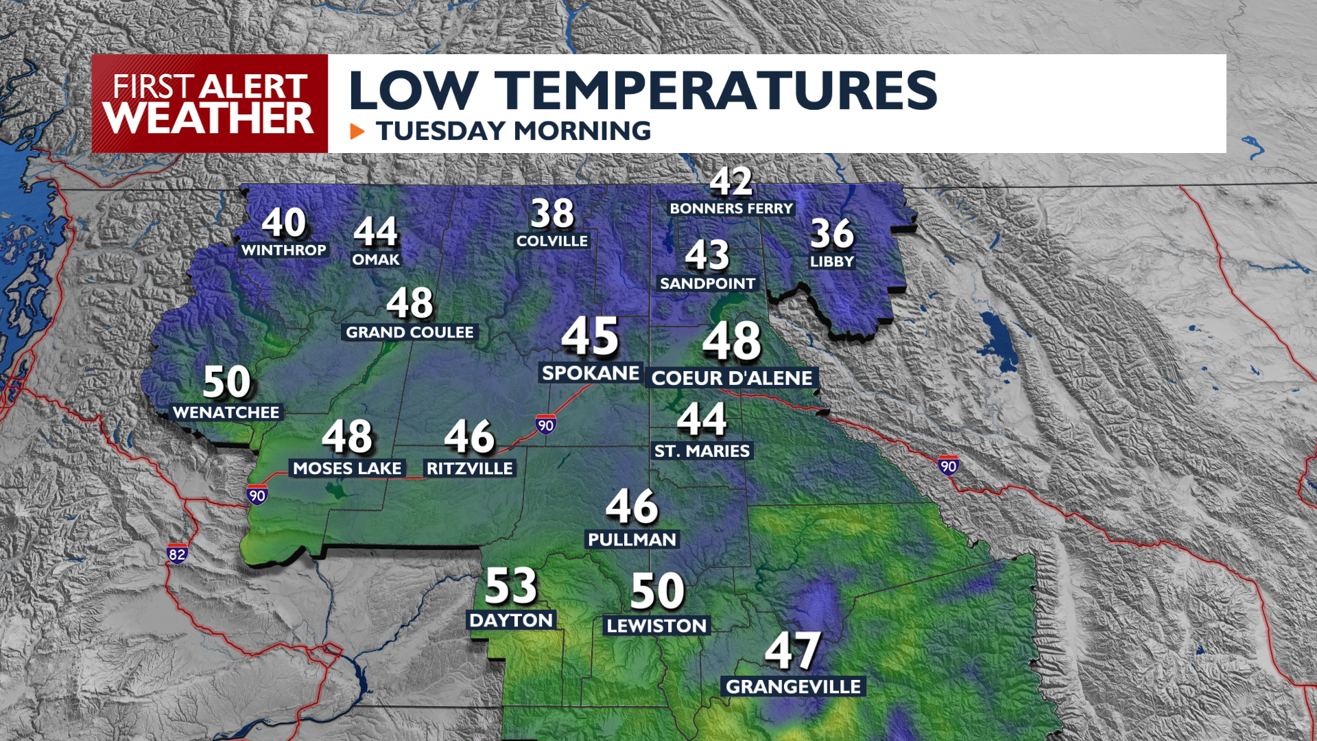
The warm and dry weather that began this weekend rolls into Monday and will be hanging around for most of the week.
Monday will start mild with patchy fog in some areas, then warm up unseasonably in the afternoon, with valley highs reaching the mid to high 70s. Areas like the Columbia Basin and the L-C Valley will see temperatures climbing into the 80s. A light breeze and some additional clouds are possible late today, but any major disruptors to this warm and dry pattern are unlikely for several days to come.
Monday night remains clear and cool, with low temperatures dropping anywhere from the mid 40s to mid 30s.
The warm pattern holds until Friday when a robust cold front arrives. Expect temperatures to drop 10 to 12 degrees by Saturday, and at least 15 degrees by Sunday, bringing highs back to the upper 50s and low 60s. Winds will be a factor starting on Friday and lasting into the weekend, with gusts over 20 mph. The one thing that remains unlikely is rain. Mountain rain and snow are possible over the weekend, but valley locations look like they will be skipped over for the most part.
With dry and gusty weather in place, we’ll be monitoring fire danger and blowing dust possibilities as we get closer to the weekend.
COPYRIGHT 2026 BY KXLY. ALL RIGHTS RESERVED. THIS MATERIAL MAY NOT BE PUBLISHED, BROADCAST, REWRITTEN OR REDISTRIBUTED.