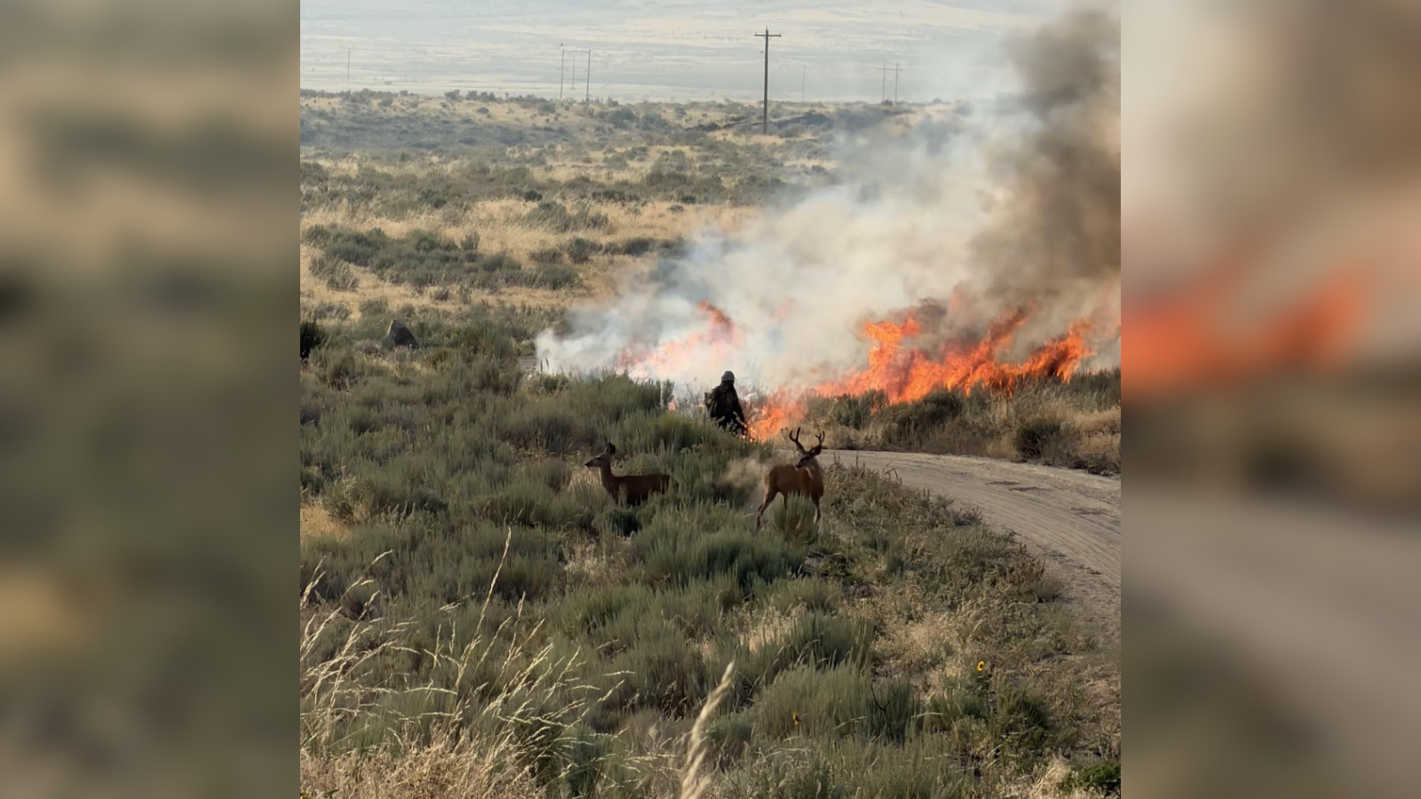
OKANOGAN COUNTY, Wash. — Containment on the Kaiser Canyon Fire in Okanogan County decreased overnight as acreage continued to climb.
According to incident management, the lightning-caused fire is currently estimated to be 121,497 acres with 9% containment.
Level 3 (GO NOW!) evacuations were issued along the Highway 21 corridor from South Empire Creek to South Nanamkin Creek Road.
The containment percentage shifted from 13% to 9% to offset the fire growth.
Firefighters will continue working to protect structures and values in the fire area, including those in the Kartar, Nespelem, Owhi Lake and Keller areas.
Level 3 (GO NOW!) evacuations are currently in place for the following areas:
Along Highway 155 on both sides of the highway from Coyote Creek Campground to Haley Creek, continuing south to Hailey Creek Road, then South to Omak Lake Road to Columbia River Road and then South to Kartar Valley Road.Area of Kartar Road and Coyote Creek Road.Jackson Ranch area, north to Mill Creek area, to Owhi Lake area, to Buffalo Lake Road, back to the Nespelem Agency, Owhi Lake area to Buffalo Lake Road back to the Nespelem Agency to Nespelem.From South Nanamkin Rd east to Hwy 21, Hwy 21 South to S Empire Creek Rd, East to the Ferry County Line, North to South Nanamkin Rd.
Level 2 (BE READY) evacuations are in place for the following areas:
East of Omak Lake and North Omak Lake Road to State Highway 155, going east on State Highway 155 both sides of the road to Haley CreekNorth of Columbia River Road from Nespelem Agency to Kartar Valley Road, East to the Coyote Creek Campground, south of State Highway 155 from Coyote Creek to Great Western Lake.Northeast side of State Highway 155, near the Great Western Lake to Lyman Lake Road to Haden Creek Road, north to the boundary of the Colville Reservation, east to Lyman Lake Road, and south to State Highway 155.East of Moses Mountain, east to the County Line, south to the Central Peak area, west to the area of Mill Creek, then north to the East Moses Mountain area.From State Highway 155 at the Town of Nespelem and the intersection of School House Loop Road to Columbia River Road. The area includes State Highway 155 south of the Nespelem Agency to Belvedere and the Columbia River, and State Highway 155 at the intersection of Buffalo Lake Road continuing to the Nespelem Agency and the north side of Nespelem.Northwest along Gold Lake Road continuing to West Fork and Highway 21, then South on Highway 21 to South Nanamkin Creek Road, West on South Nanamkin Creek Rd to the intersection of Central Peak Road and the Ferry County line, then North along the Ferry County line to Gold Lake Road.From the intersection of Peter Dam Road (Manilla Creek Road) and Buffalo Lake Road to State HWY 21. North along HWY 21 to South Empire Creek Road, West to the Ferry County line, West to Buffalo Lake Road, from the County line, continuing South on Buffalo Lake Road to Peter Dan Road.
Kartar Road currently closed due to active fire danger. The following road closures are also in place for the fire:
Buffalo Lake Road South from the Nespelem Agency to Reynold ResortState Route 155 from Monument south to Park City Loop Road.Cache Creek Road from Nespelem to State Highway 21.State Route 155 to Park City Loop Road.
For the most up-to-date information on evacuations and road closures, click here.
COPYRIGHT 2026 BY KXLY. ALL RIGHTS RESERVED. THIS MATERIAL MAY NOT BE PUBLISHED, BROADCAST, REWRITTEN OR REDISTRIBUTED.