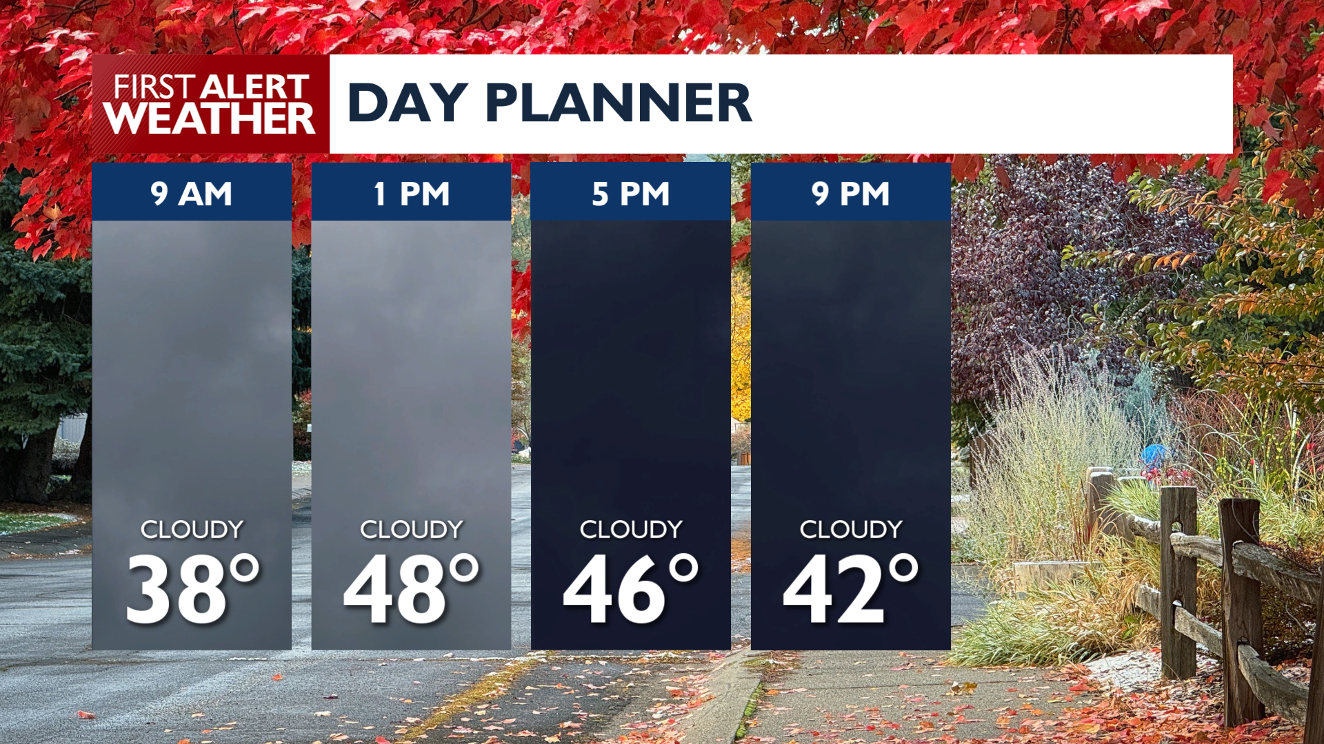
We’re set up for a cloudier day around the Inland Northwest as a weather system moves through the West.
Tuesday will have seasonable temperatures with highs in the upper 40s and low 50s. While thick clouds move through during the morning hours, there is only a small chance for sprinkles in central Washington east to the Spokane area through lunchtime. Conditions will remain cloudy until this evening.
Wednesday looks like our best day of weather this week with ample sunshine and highs in the low 50s.
The next weather system arrives early Thursday, bringing light rain to eastern Washington and north Idaho. Snow levels will drop to around 4,000 to 5,000 feet, bringing a dusting to the mountains Thursday and Friday.
Our pattern looks to remain active next week, with a strong possibility for heavier rain and more significant mountain snow in 7 to 10 days from now.
COPYRIGHT 2026 BY KXLY. ALL RIGHTS RESERVED. THIS MATERIAL MAY NOT BE PUBLISHED, BROADCAST, REWRITTEN OR REDISTRIBUTED.