A much more active weather day is ahead Friday, with rain, gusty winds and sharply cooler temperatures moving through the Inland Northwest.
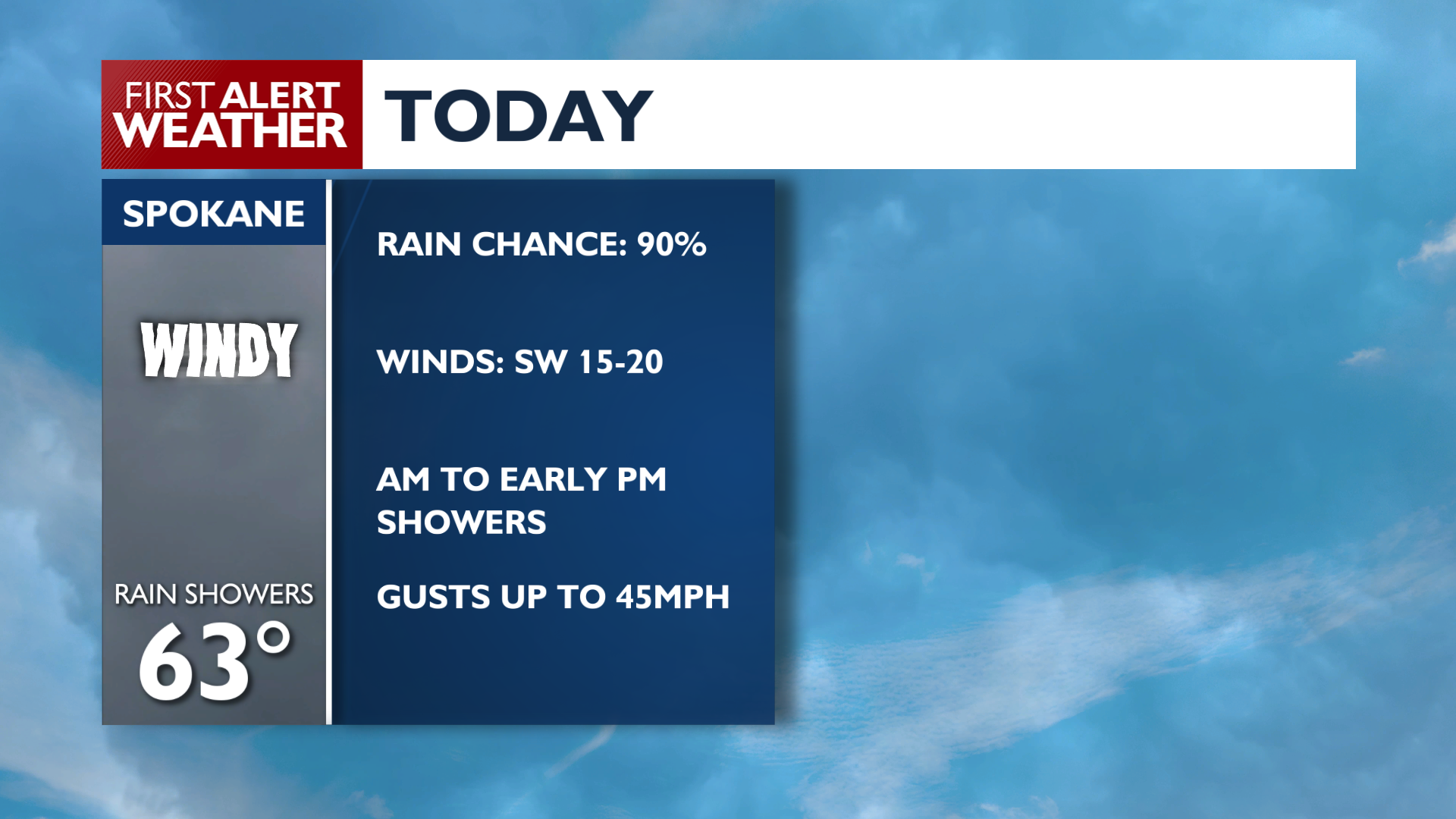
Rain chances climb to around 90% in Spokane, with showers most likely from the morning into the early afternoon. A few thunderstorms will also be possible later in the day.
The bigger concern will be the wind. A Wind Advisory is in effect from 11 a.m. to 9 p.m. Friday for much of the region, including Spokane. Southwest winds will increase to around 15 to 25 mph, with gusts potentially reaching 45 to 50 mph in some areas.
Those stronger winds could produce areas of blowing dust, especially across the Columbia Basin and other dry, open areas. A few isolated power outages are also possible.
Temperatures will struggle to reach the lower 60s, with Spokane topping out near 63 degrees. Showers decrease Friday evening, but it will remain breezy for a while before winds gradually ease overnight.
The weekend will be much quieter, but definitely chilly. Saturday reaches only about 62 degrees, with an overnight low near 39. Sunday improves to around 65 degrees, but some outlying areas could see frost early in the morning. Next week looks relatively calm, with highs generally in the mid-60s and overnight lows mainly in the lower 40s. Bottom line: Friday is the day to watch, with rain and potentially damaging wind gusts before calmer, cooler weather settles in for the weekend.
COPYRIGHT 2026 BY KXLY. ALL RIGHTS RESERVED. THIS MATERIAL MAY NOT BE PUBLISHED, BROADCAST, REWRITTEN OR REDISTRIBUTED.