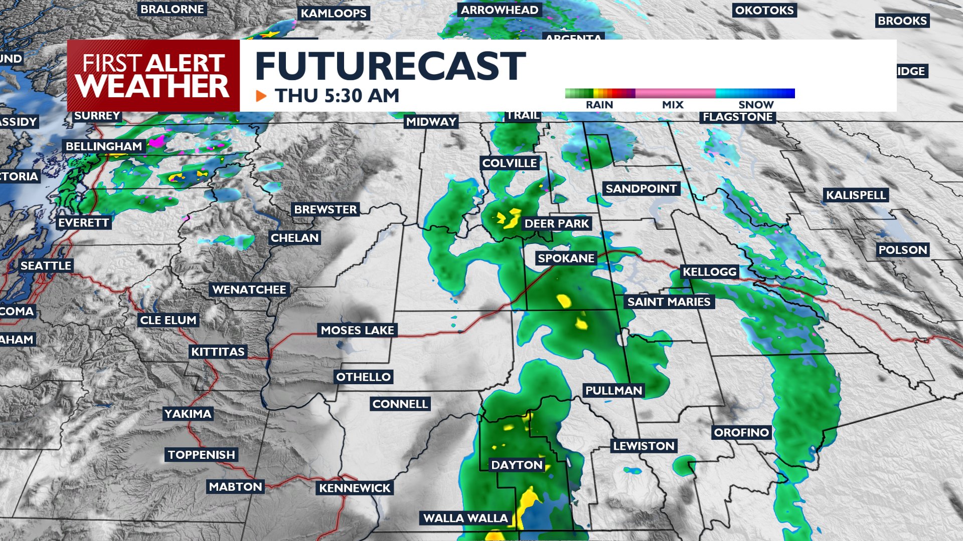
Expect a dry and mostly sunny Wednesday before rain and mountain snow return tomorrow. It will be the start of a more active pattern that will roll into next week.
Wednesday begins with frosty temperatures in the low 30s and areas of fog. Skies will be clear for areas that aren’t fogged up this morning. Everyone will be mostly sunny for midday and the afternoon. Highs will be seasonable for this time of year, likely slightly warmer than the past few days in the upper 40s and lower 50s.
Wednesday evening, rain and mountain snow chances will increase in the Cascades and move into central Washington overnight. Expect rain early Thursday morning in Eastern Washington and North Idaho with light mountain snow accumulations at the passes.
A more robust system arrives Saturday night into Sunday, bringing wind gusts of 20 to 30 mph and higher mountain snow totals. Valleys will see another chance for rain Saturday night. The active weather pattern continues next week with a strong midweek weather system.
COPYRIGHT 2026 BY KXLY. ALL RIGHTS RESERVED. THIS MATERIAL MAY NOT BE PUBLISHED, BROADCAST, REWRITTEN OR REDISTRIBUTED.