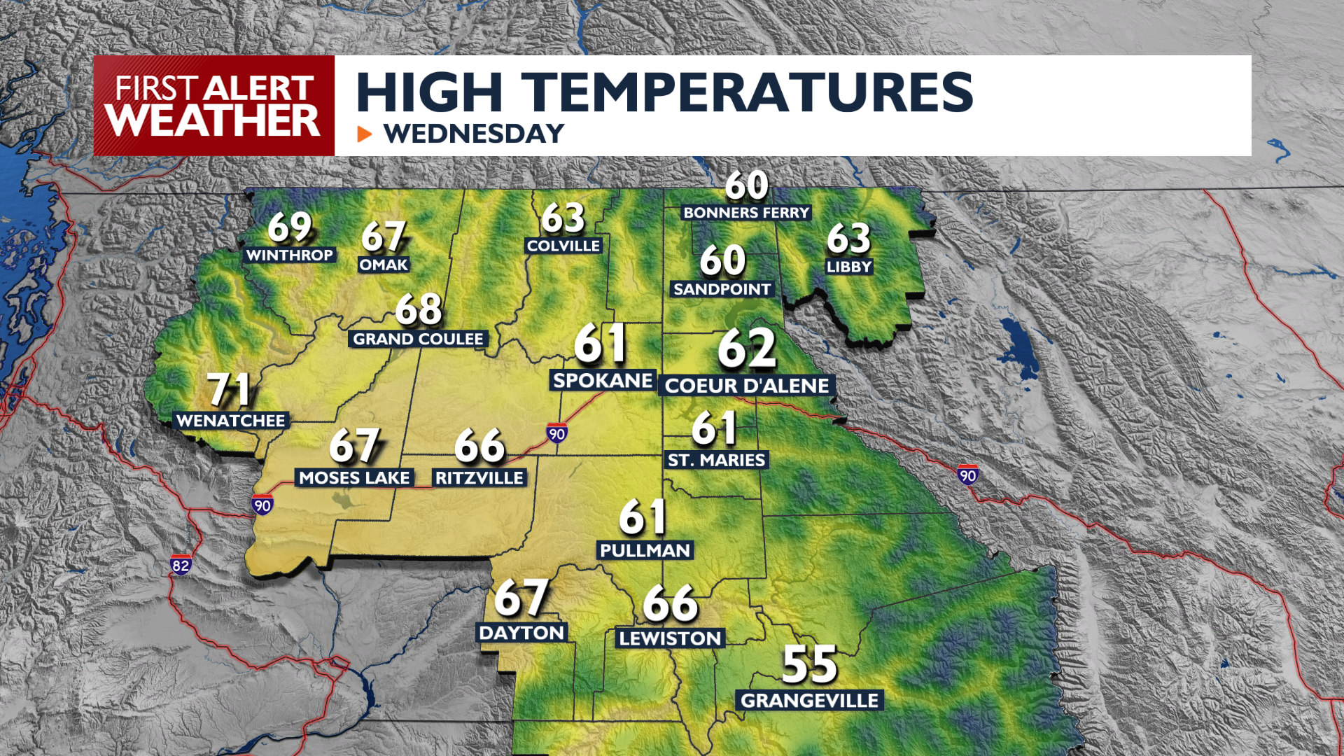
It’s a warmer start to Wednesday, and the warmer start will translate to some warmer weather to end the day as well. High temperatures will cross over into the 60s in many areas, with a few holdouts in the 50s in northern valleys. Expect passing mid and high-level clouds throughout the day. A few morning showers are possible in the Cascades and in Central Washington while the rest of the region stays dry.
Sky conditions will be clear , and winds will be calm tonight, so some frost is possible Thursday morning as temperatures drop into the mid to upper 30s.
A warming trend continues through Friday as temperatures peak in the upper 60s to mid 70s. A cold front sweeps through on Saturday, bringing blustery and dry conditions. Winds will gust at least 30 mph and have the potential to reach over 40 mph. Dry soils may produce patchy blowing dust in the Columbia Basin on Saturday before cooler air settles in on Sunday.
Rain is still possible early next week, but is trending drier than our forecasts from earlier this week.
COPYRIGHT 2026 BY KXLY. ALL RIGHTS RESERVED. THIS MATERIAL MAY NOT BE PUBLISHED, BROADCAST, REWRITTEN OR REDISTRIBUTED.