Temperatures are set to warm back to the 90s by the start of the weekend. A storm system is set to bring us significant fire danger on Saturday.
Plan Your Day
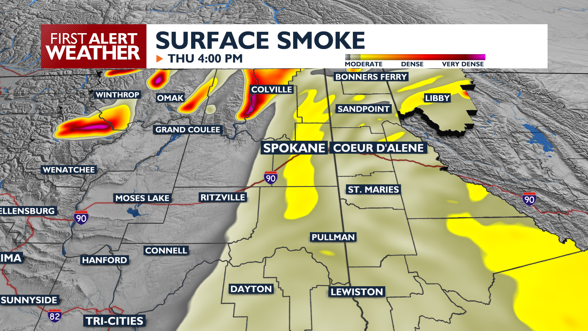
Thursday brings a dry and warm pattern as high pressure builds over the region. High temperatures will climb into the upper 80s and low 90s. Wildfire smoke will continue to impact air quality in Northeast Washington, while general haziness from fires will keep air quality in the Moderate range for Spokane and Coeur d’Alene.
What We’re Tracking
It is a 4 News Now Weather Alert Day on Saturday as a robust cold front brings the possibility of extreme fire weather conditions. Sustained westerly winds between 20 and 30 mph are expected, with gusts reaching 30 to 40 mph for most areas. Parts of the Columbia Basin and Lewiston could see gusts exceeding 50 mph. These conditions will be dangerous for firefighters and anyone immediately downwind of wildfires that will be fast-moving in the afternoon and evening.
Extended Forecast
COPYRIGHT 2026 BY KXLY. ALL RIGHTS RESERVED. THIS MATERIAL MAY NOT BE PUBLISHED, BROADCAST, REWRITTEN OR REDISTRIBUTED.