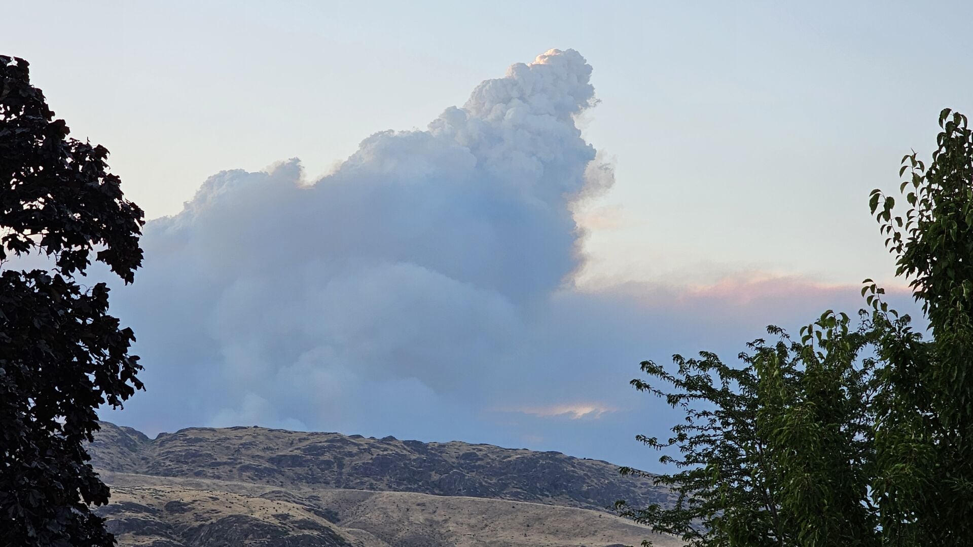
OKANOGAN COUNTY, Wash. — The Kaiser Canyon Fire burning on the Colville Reservation in Okanogan County has doubled in size with no containment.
According to incident management, the lightning-caused fire is currently estimated to be 53,321 acres.
More crews began arriving on Saturday and were immediately sent out to help with the firefighting efforts. The towns of Nespelem, the Colville Agency and rural homesteads have all been in the path of the fire.
Incident management says firefighters will focus on protecting homes, stopping forward progression and building containment lines in the fire.
Level 3 (GO NOW!) evacuations are in place for the town of Nespelem, Rebecca Lake, Belvedere, Buffalo Lake Road, and the Columbia River Campground. For the latest evacuation map, click here.
The following road closures are in place due to the fire:
Highway 155 from Park City Look to Rebecca Lake RoadCache Creek Road from Nespelem to Highway 21 in Ferry CountyColumbia River Road from Nespelem Agency to Coyote Creek RoadBuffalo Lake Road to Peter Dam Road
The following emergency shelters have been set up for people living in the fire evacuation zone:
Omak Community Center, 601 Benton Street, OmakOmak Longhouse, 25 Mission Road, OmakLake Roosevelt Gym, 500 Civic Way, Coulee Dam
Animal evacuation shelters have also been set up at the following locations:
Ridge Riders Rodeo Grounds, 2209 Alcan Road NE, Grand CouleeOkanogan County Fairgrounds, 175 Rodeo Trail, OkanoganOmak Stampede Rodeo Grounds, 236 Ferry Street, Omak
Incident management says hot, dry and breezy conditions on Sunday could cause rapid fire spread. Please check for updates regularly on road closures and evacuation zones.
COPYRIGHT 2026 BY KXLY. ALL RIGHTS RESERVED. THIS MATERIAL MAY NOT BE PUBLISHED, BROADCAST, REWRITTEN OR REDISTRIBUTED.