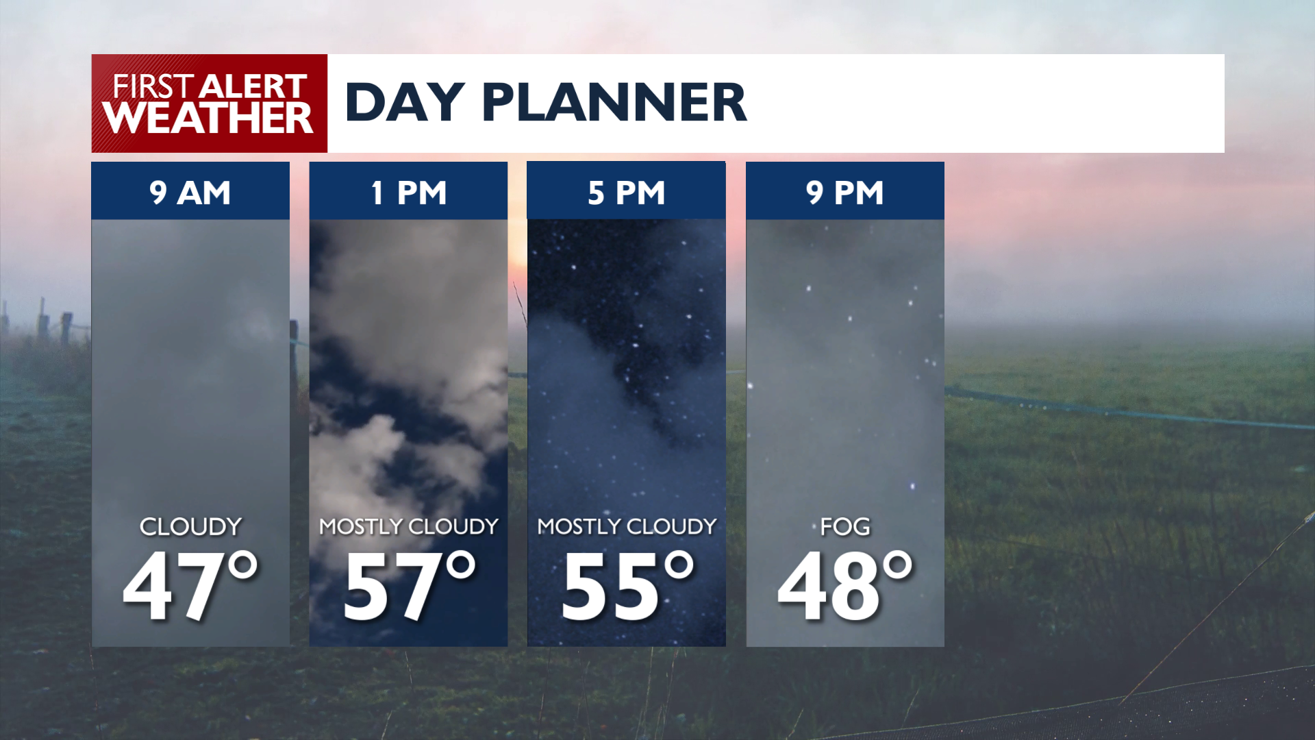
Foggy weather is likely for an extended period this morning with considerably moisture left behind from Tuesday’s rain. Low cloud cover is likely for most of the day with a few breaks in the cloud ceiling during the afternoon.
It will be warmer today as a high-pressure ridge builds over the region, pushing highs into the upper 50s and lower 60s. Lows overnight will range from the upper 30s to 40s with more areas of fog and low clouds.
A cooler storm system arrives Friday night and continues through the weekend, bringing rain and breezy conditions at times. Temperatures will cool into the 40s and low 50s. Snow levels drop enough to where passes like Lookout, Stevens, and Sherman will be at risk for seeing winter driving conditions by the end of the weekend.
COPYRIGHT 2026 BY KXLY. ALL RIGHTS RESERVED. THIS MATERIAL MAY NOT BE PUBLISHED, BROADCAST, REWRITTEN OR REDISTRIBUTED.