We are making adjustments to the Halloween forecast that will mean you have to check the radar if you’re out and about on Saturday night.
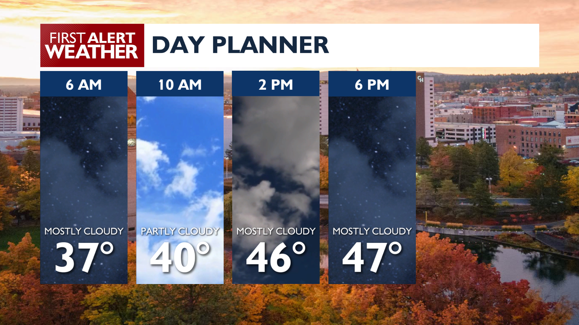
A cool and unsettled pattern continues on Thursday with valley rain and mountain snow showers. Morning showers around the northern mountains will continue to bring periodic rain while areas along and south of I-90 will largely stay dry today. It’s not going to be like the thunderstorms we had on Wednesday. Afternoon temperatures will reach the upper 40s to mid 50s.
Friday will largely be the same as Thursday, isolated showers and temperatures in the 40s and 50s. There will be a chance for a couple of evening showers in the greater Spokane area and some mountain snow or winter mix in the Cascades and Bitterroot Range of Idaho.
A more organized system arrives Saturday, which complicates the forecast for Halloween fun. Some morning showers are possible around the I-90 corridor followed by some drier conditions for midday. The strongest chances for rainfall will be in southeastern Washington and the southern Idaho Panhandle during the evening. A few light sprinkles may get as far north as Spokane and Coeur d’Alene during the mid to late evening hours with heavier precipitation further east around the Silver Valley. It’s probably time to plan for a trick-or-treat rain check around the Palouse, Blue Mountains, and L-C Valley.
COPYRIGHT 2026 BY KXLY. ALL RIGHTS RESERVED. THIS MATERIAL MAY NOT BE PUBLISHED, BROADCAST, REWRITTEN OR REDISTRIBUTED.