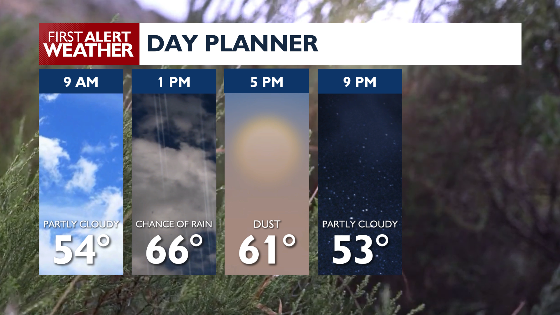
A cold front on Friday brings gusty winds and blowing dust before temperatures drop significantly this weekend.
A strong cold front moves through the region today, bringing gusty west winds between 15 and 25 mph with gusts reaching up to 45 mph. These winds will likely kick up blowing dust across the Columbia Basin, causing rapid changes in visibility through Friday evening. A Blowing Dust Advisory is in effect today across the Palouse and Columbia Basin from noon to 7 p.m.
Rain is possible on Friday as well. A brief line of rain will move across the area, most likely arriving around midday in the Spokane area. Showers are also possible on Saturday, but will not be widespread and will mostly hang over mountain areas.
High temperatures will reach the 60s and low 70s today, but will be much cooler over the weekend. Temperatures this weekend will only reach the 50s with lows in the 30s and low 40s. Snow levels will drop to between 4,000 and 5,000 feet by Saturday morning. Lookout Pass, Sherman Pass, and the North Cascades Highway could see areas of light snow on Saturday and Saturday night.
By Monday morning, freezing temperatures are expected for mountain valleys as temperatures fall anywhere from the mid 20s to low 30s.
COPYRIGHT 2026 BY KXLY. ALL RIGHTS RESERVED. THIS MATERIAL MAY NOT BE PUBLISHED, BROADCAST, REWRITTEN OR REDISTRIBUTED.