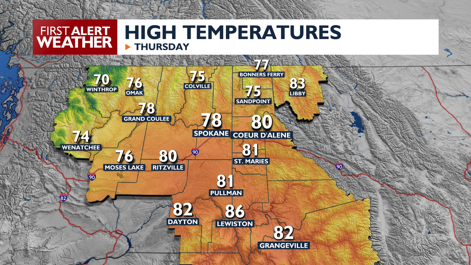
Thursday remains mild and dry before a strong system brings rain, gusty winds, and much cooler temperatures Friday through the weekend.
It will be another warmer day, with highs reaching the upper 70s and low 80s across the Inland Northwest. Dry conditions prevail until Thursday night when a cold front moves into the Cascades, bringing rain and thickening clouds to central Washington as we’re waking up Friday morning.
The storm system will push through the Spokane and Coeur d’Alene area midday Friday with rainy and windy weather. The heaviest rain will come from a strong front associated with this storm. Behind the front, winds will strengthen to gust between 35 and 45 mph, with a few gusts up to 50.
Take some time to secure trash cans and other objects around your home that could blow away. These winds will be strong enough that a few isolated power outages are possible over the course of Friday.
Once the storm has passed, much cooler air will settle in for the weekend. Grab a sweater, with lows in the 30s and 40s and highs only around 60 for Saturday and Sunday.
COPYRIGHT 2026 BY KXLY. ALL RIGHTS RESERVED. THIS MATERIAL MAY NOT BE PUBLISHED, BROADCAST, REWRITTEN OR REDISTRIBUTED.