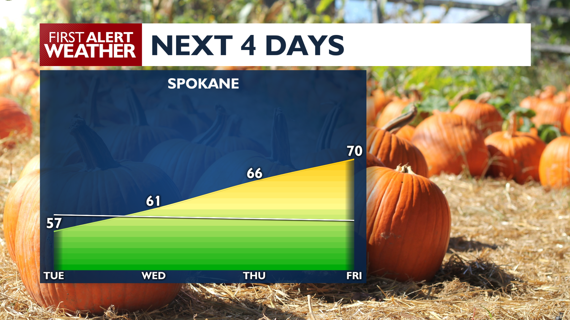
It’s a frozen Tuesday morning around the Inland Northwest, but we’ll be getting much warmer before we hit the weekend.
A Freeze Warning remains in effect in Central and Southeast Washington through 9 a.m., with temperatures staying in the frost and freeze range in most of the region until then. Areas of freezing fog or low clouds are possible around area lakes to start the day.
Highs on Tuesday will reach the 50s, warmer than Monday under a building ridge of high pressure. Tuesday Night will be another chilly one, with lows dropping back into the upper 20s and lower 30s for many sheltered valleys, while Spokane and Coeur d’Alene should remain above freezing but still be pretty frosty.
High temperatures will climb through the end of the work week, peaking in the mid 60s to lower 70s by Friday. This warming trend will falter over the weekend.
Another notable weather system is likely to arrive by Monday, which will continue to drop our temperatures and give us a decent chance of rain.
COPYRIGHT 2026 BY KXLY. ALL RIGHTS RESERVED. THIS MATERIAL MAY NOT BE PUBLISHED, BROADCAST, REWRITTEN OR REDISTRIBUTED.