More clouds and strong winds will mark another day of change in our weather as another storm system begins to influence our conditions.
Spotty rain is possible in the northern Idaho Panhandle this morning as clouds and moisture start moving in from the north. A cold front arrives Thursday afternoon, bringing west winds gusting up to 35 mph in the Columbia Basin and 20 to 30 mph around Spokane. These dry winds will create elevated fire weather conditions and a chance for blowing dust that could drop visibility to a mile or less in parts of the Columbia Basin. A few showers are possible this evening around the Palouse, Blue Mountains, and Central Panhandle. Temperatures will reach the upper 70s and low 80s today, but will drop 10 degrees or more for Friday.
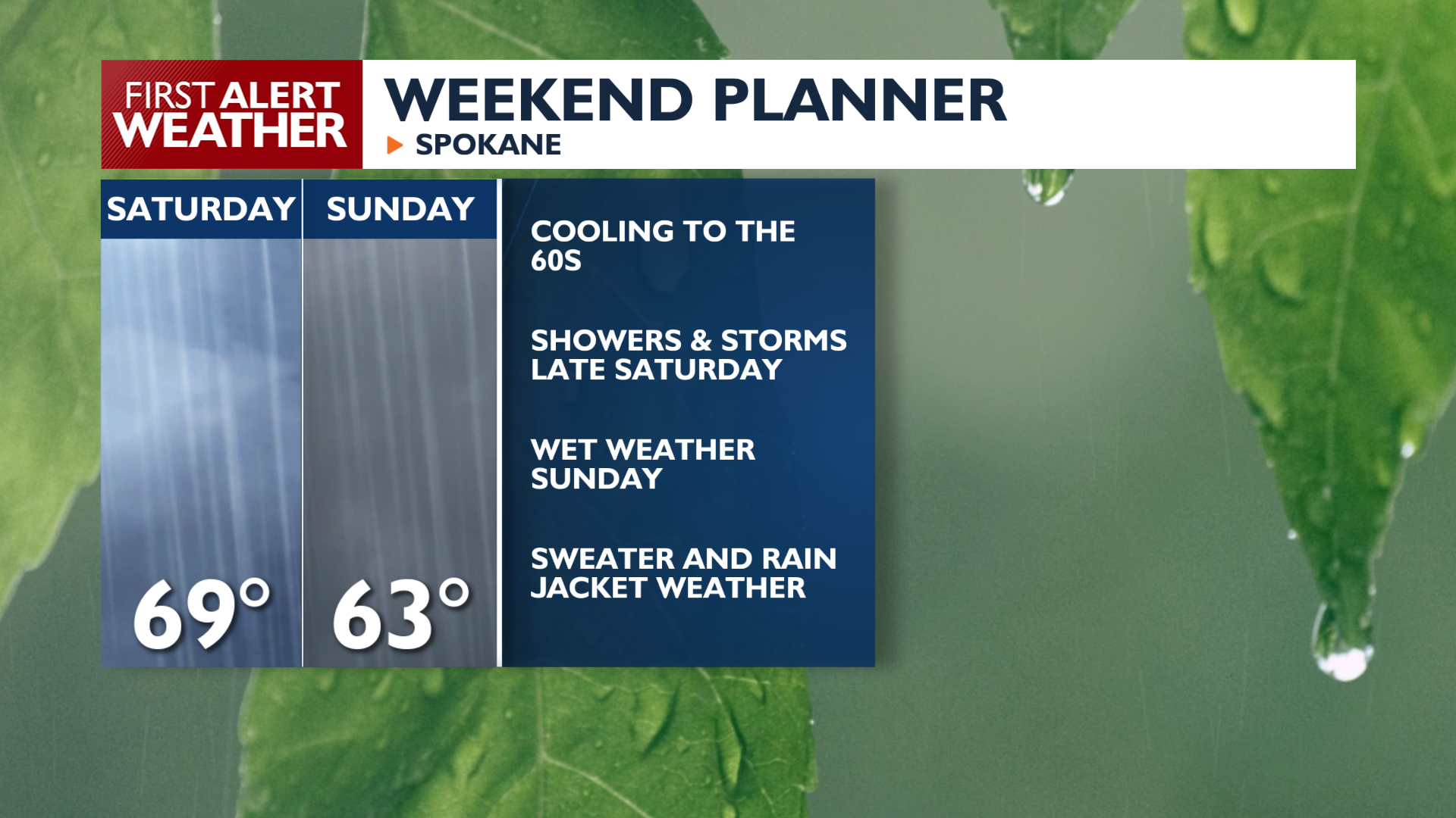
A stronger system arrives Saturday and Sunday, and our rain chances are trending much higher for this period than they were earlier in the week. Expect the rain to get started Saturday afternoon and continue through Sunday morning. Saturday morning looks like the best and maybe only real window for outdoor activities this weekend if you want to stay dry.
COPYRIGHT 2026 BY KXLY. ALL RIGHTS RESERVED. THIS MATERIAL MAY NOT BE PUBLISHED, BROADCAST, REWRITTEN OR REDISTRIBUTED.