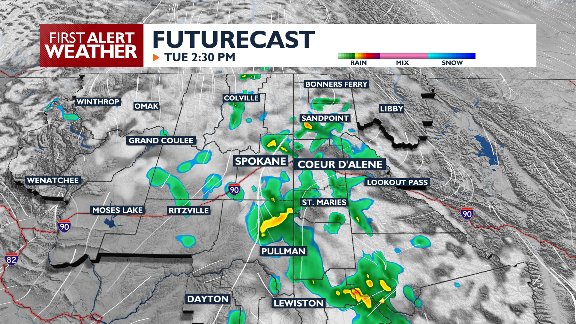
Tuesday remains warm, but an active weather pattern gets into gear starting this afternoon, bringing rain chances, gusty winds, and much cooler temperatures for the rest of the week.
Tuesday is our last warmer day for a little while, with highs reaching the 80s. While conditions start out dry, clouds increase this afternoon with a chance for scattered showers. Spotty showers and isolated storm chances continue through the night.
A pattern shift arrives Wednesday and Thursday. Widespread rain is likely early on Wednesday. South winds will gust between 20 and 40 mph Wednesday afternoon, potentially causing blowing dust and reduced visibility in central Washington. Rain chances rise again late Wednesday through Wednesday night.
Temperatures will cool quickly, with highs in the 60s and lows in the 40s Thursday and Friday.
Looking ahead to Labor Day weekend, the weather pattern remains unsettled with at least a small chance of a shower each day. Temperatures will warm to the 70s.
COPYRIGHT 2026 BY KXLY. ALL RIGHTS RESERVED. THIS MATERIAL MAY NOT BE PUBLISHED, BROADCAST, REWRITTEN OR REDISTRIBUTED.