LEWISTON, Idaho — A year and a half after leaving the St. Louis area, the Lewis and Clark expedition arrived at the Weippe Prairie in present-day Idaho exhausted, sick, and hungry — and on the verge of failure.
The Corps of Discovery, a 33-member team commissioned by President Thomas Jefferson in 1803, had just crossed the Bitterroot Mountains on the Idaho-Montana border. The Rocky Mountains had stopped them cold, and the mission to find a practical route to the Pacific Ocean was in serious jeopardy.
What saved them was the Nez Perce.
“They were very blessed because in September of 1805, they had hit snowstorms,” said a living history interpreter along the trail. “They barely made it out to the Weippe Prairie.”
The Nez Perce fed the expedition, helped its members recover, and gave them time to prepare for the next leg of the journey. The Corps adapted to local foods and relied on knowledge from a people who already knew this land well.
“They provided salmon… and then they would go out and gather roots,” the interpreter said.
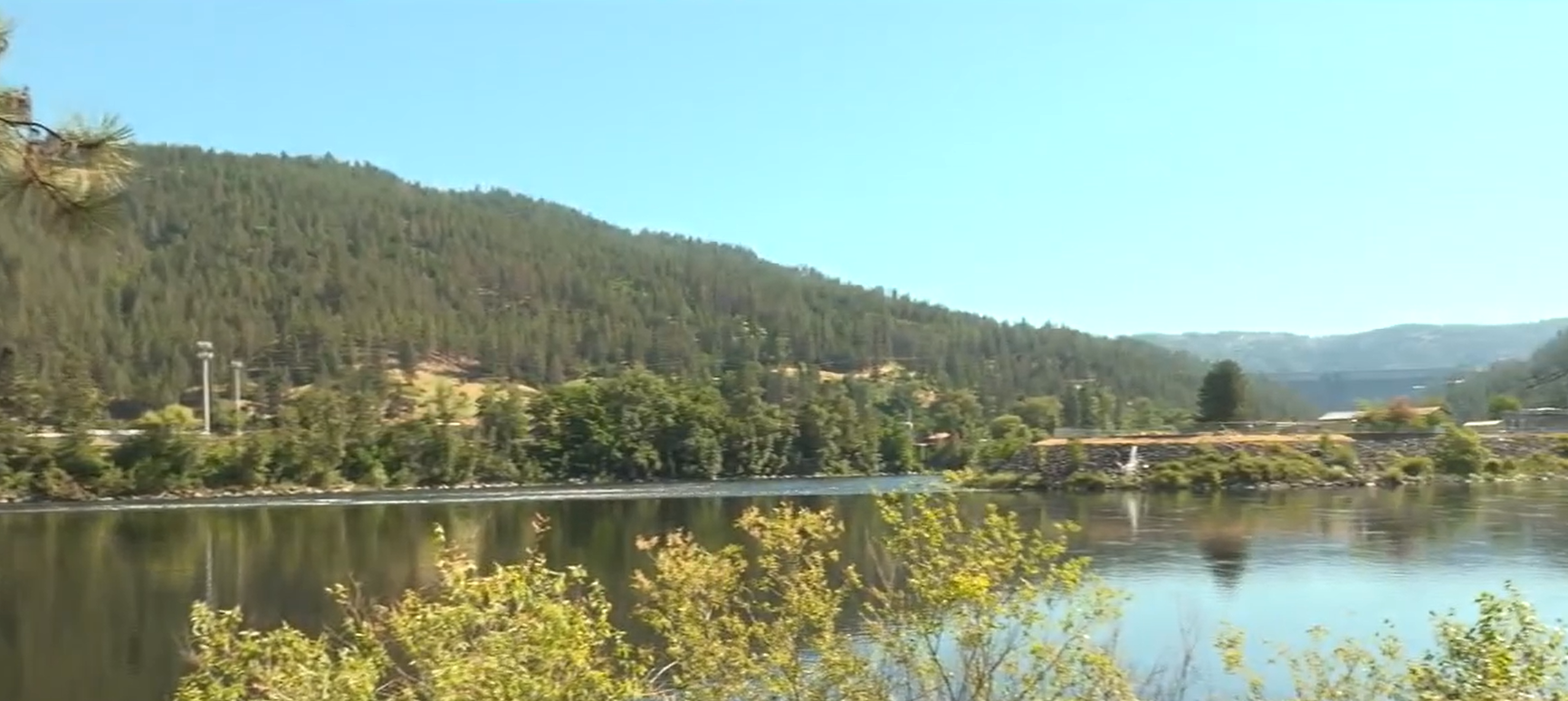
Near present-day Orofino, the journey shifted in a critical way. At a site now known as Canoe Camp, the expedition transitioned from overland travel to river travel. With Nez Perce assistance, the Corps gathered large logs, burned and carved them out, and built five canoes to navigate the Clearwater River west.
“With the help of the Nez Perce… they cut them out, they burned them out to make five canoes,” the interpreter said.
From there, the rivers became the highway west. The Clearwater carried the expedition to the Snake River, the Snake to the Columbia, and the Columbia toward the Pacific Ocean.
For Lewis and Clark, the rivers were a discovery. For Native people, those same waterways had long served as established routes of travel, trade, and daily life.
The expedition had its origins in a request from Jefferson, who asked Congress in 1803 to fund a covert mission west. The goals: map the land, document what they found, and identify a practical overland route to the Pacific.
Jefferson selected Meriwether Lewis — his trusted private secretary — to lead the effort. Lewis then chose William Clark, an experienced soldier and frontiersman, to share command. The team that formed around them became known as the Corps of Discovery.
“They never knew about the Rocky Mountains,” the interpreter said. “The Rocky Mountains stopped them dead in their tracks.”
The expedition departed from near St. Louis — long considered the gateway to the American West — and pushed into territory that was largely unmapped by the U.S. government, though well known to the Native nations who had lived there for generations.
Near Wallula Gap, between Walla Walla and the Tri-Cities in Washington state, the expedition passed a pair of basalt formations now called the Twin Sisters on Oct. 18, 1805. The Corps was traveling by canoe near the confluence of the Snake and Columbia rivers.
The name Twin Sisters comes from a Native story tied to the land. Later, settlers connected the landmark to Lewis and Clark, calling it a monument to the “two captains.” One place. Two distinct histories.
More than two centuries later, interpreters and tribal members along the trail continue working to ensure both stories are told and protected.
“We try to make sure we protect the elders’ stories… the stories that need to be told,” the interpreter said.
For visitors to the trail today, that message carries a straightforward call to action.
“I hope that they respect the land, and I hope that they respect the water,” the interpreter said. “Tread lightly and do not make a mess.”
As the United States approaches its 250th anniversary, the Lewis and Clark Trail stands as a reminder that American history is not a single story told by a single group of people — it is a layered record shaped by those who arrived and those who were already here.
COPYRIGHT 2026 BY KXLY. ALL RIGHTS RESERVED. THIS MATERIAL MAY NOT BE PUBLISHED, BROADCAST, REWRITTEN OR REDISTRIBUTED.