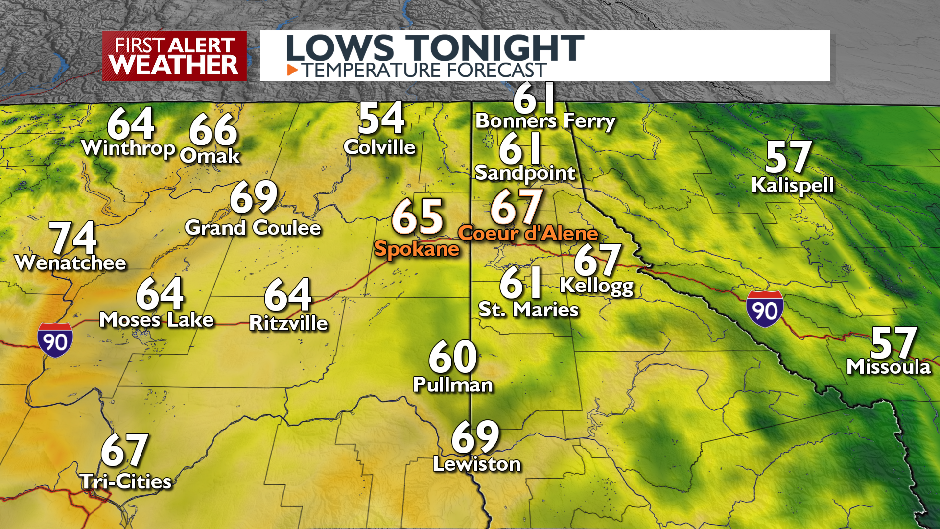
Temperatures hit a new level as we’ll be baking in a short heat wave today through Thursday. Expect hot afternoons, warm nights, and an increasing chance for thunderstorms.
What We’re Tracking
90s for highs the next three daysLow 100s in the Columbia Basin and L-C ValleyWarm overnight temperatures will make it more difficult to stay coolDry today, isolated storms Wednesday, widespread storms Thursday night into FridayStorms will produce areas of heavy rainCooler weather Friday into the weekend (80s)
Plan your Tuesday
Extended Forecast
COPYRIGHT 2025 BY KXLY. ALL RIGHTS RESERVED. THIS MATERIAL MAY NOT BE PUBLISHED, BROADCAST, REWRITTEN OR REDISTRIBUTED.