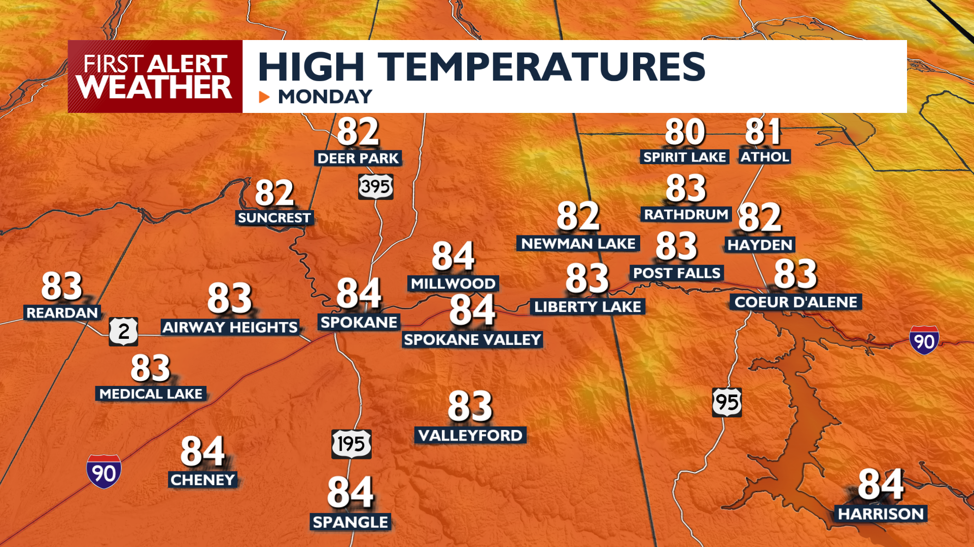
Monday will be a very warm September afternoon, fitting for the final day before the fall equinox.
Today features warm, dry, and sunny conditions with high temperatures reaching the low to mid 80s. Bands of high clouds will move through the region and winds will remain light through tonight. Temperatures only dip into the lower 50s with increasing cloud cover heading into Tuesday morning.
Highs will lower into the 70s for the rest of the workweek while lows will be more consistently in the upper 40s to right around 50.
Confidence is increasing for a robust cold front on Friday that will drop afternoon highs into the 60s for the weekend. Rain is possible as early as Thursday night, and you’ll need to watch the Friday forecast for rain. Snow levels will drop to around 6000 feet in elevation on Friday night, another sign of the changing season.
COPYRIGHT 2026 BY KXLY. ALL RIGHTS RESERVED. THIS MATERIAL MAY NOT BE PUBLISHED, BROADCAST, REWRITTEN OR REDISTRIBUTED.


