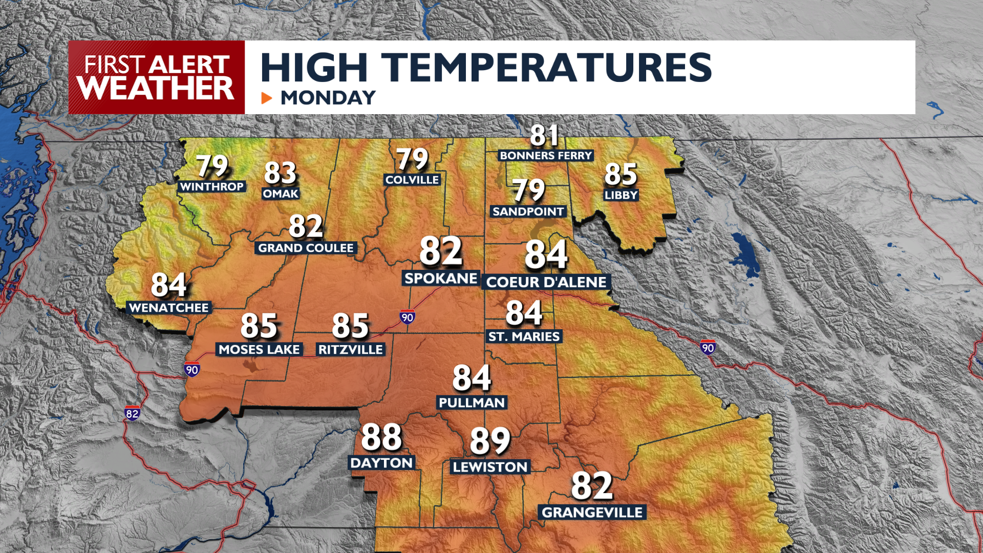
Monday brings a return to warmer weather as high pressure builds over the region. High temperatures will climb into the 80s Monday afternoon with mostly clear skies. Temperatures tonight will be milder, with more lows in the 50s than the 40s as clouds start moving in.
The pattern shifts late Tuesday into Wednesday as a storm system approaches. A thunderstorm or two is possible on Tuesday evening, but most of the impactful weather will hold off until the next day. By Wednesday afternoon, southerly wind gusts of 30 to 35 mph could cause blowing dust in the Columbia Basin. Widespread rain follows Wednesday night, with a 70 percent chance of at least a tenth of an inch of rainfall through Thursday.
Temperatures will fall quickly, with highs only in the upper 60s and low 70s from Wednesday into the weekend.
COPYRIGHT 2026 BY KXLY. ALL RIGHTS RESERVED. THIS MATERIAL MAY NOT BE PUBLISHED, BROADCAST, REWRITTEN OR REDISTRIBUTED.