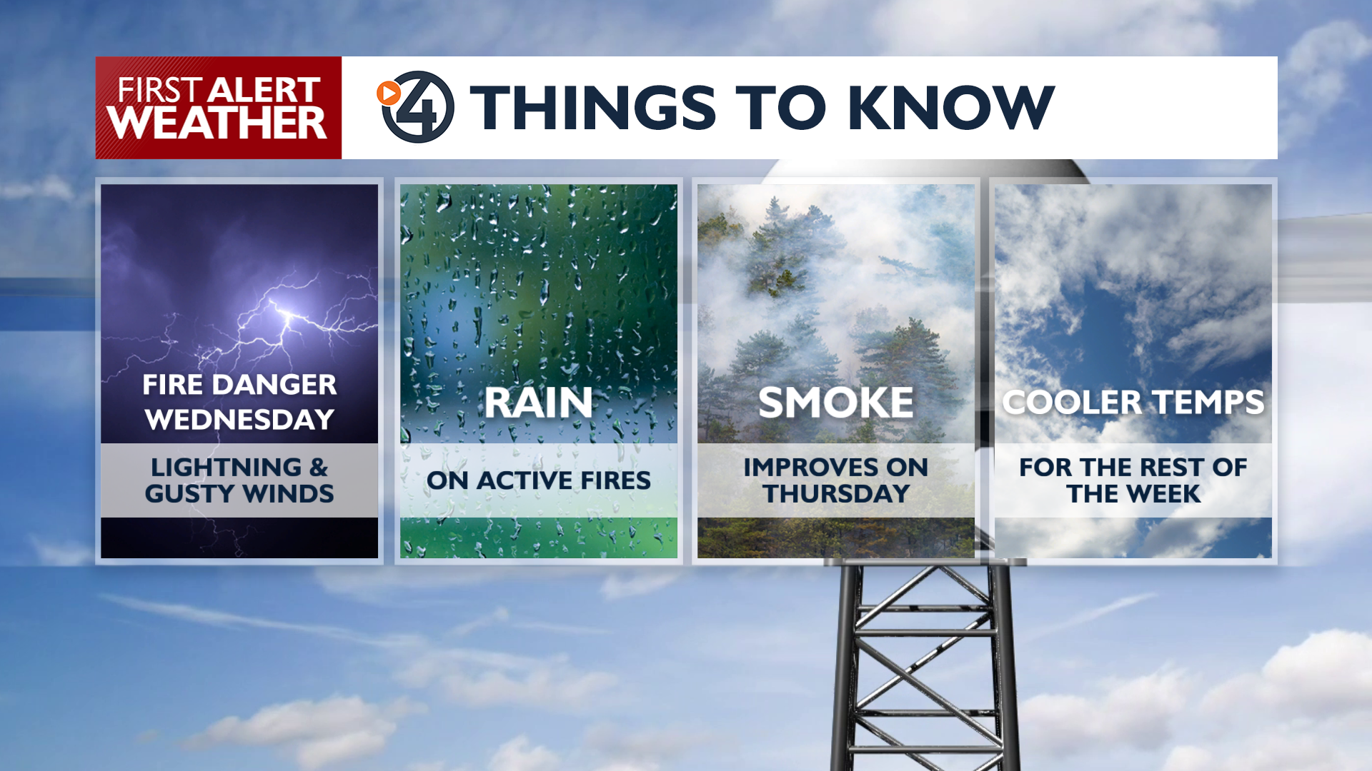
It’s a Weather Alert Day as lightning-started fires are highly likely today and tonight around the Inland Northwest.
A Red Flag Warning is in effect starting at 11 AM Wednesday as thunderstorms develop across the region. These storms may produce lightning and wind gusts over 35 mph, increasing the risk for new fire starts. Rain is possible, but will be very light for most areas that get thunderstorms. The North Cascades could pick up some decent rainfall of a quarter-inch to half-inch, which could help calm down some of the smokiest fires in our area.
In the Spokane and Coeur d’Alene area, storms will stay to the north for most of this period. Storms won’t be possible in this area until between 7 and 11 o’clock tonight.
High temperatures Wednesday will reach the 80s and 90s under widespread smoke and haze. Winds will begin to turn out of the northeast tonight, leading to improved air quality in many areas on Thursday. One or two mountain thunderstorms will remain possible in the afternoons for the rest of the week.
COPYRIGHT 2026 BY KXLY. ALL RIGHTS RESERVED. THIS MATERIAL MAY NOT BE PUBLISHED, BROADCAST, REWRITTEN OR REDISTRIBUTED.