It’s dry, but not for long. We’re on the lookout for flooding in the Cascades and North Idaho through the end of the week.
Plan your Tuesday
The atmospheric river weather feature that brought the heavy rain and high winds is moving south out of our area. Today we’ll see drying conditions and quickly decreasing winds between the early and late morning hours. Area rivers are still rising due to recent heavy rain and snow melt, but smaller streams should begin to fall back with this break in the wet weather. The break won’t last forever. Expect rain to surge north and return this evening. Be ready for wet weather again after dinner.
What We’re Tracking
A second round of this atmospheric river event returns Tuesday night and continues through Thursday, bringing more heavy rain. Most of this rain will be focused on the Cascades and Idaho Panhandle, potentially delivering 6 to 10 inches of rain along the Cascade crest and more than 4 inches in the mountains of North Idaho.
This rainfall, combined with snow melt, will cause sharp rises on major rivers and streams, raising the risk of rock and mud slides in steep terrain and near burn scars. Abnormally warm temperatures are also expected mid-week, reaching the mid-50s to mid-60s in some areas, which is well above normal. A Flood Watch remains in effect across the central and southern Idaho Panhandle through Thursday afternoon.
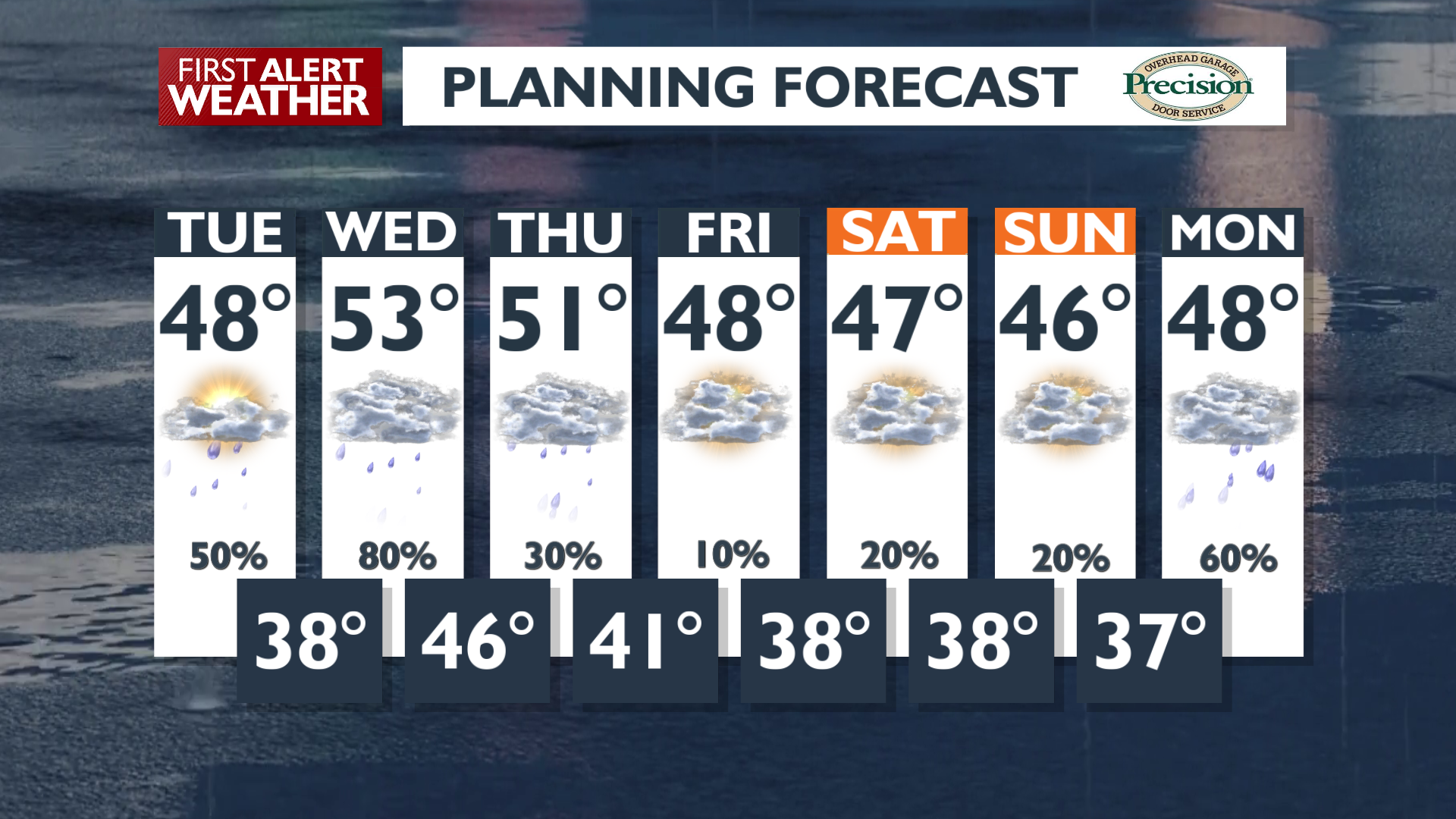
Extended Forecast
COPYRIGHT 2025 BY KXLY. ALL RIGHTS RESERVED. THIS MATERIAL MAY NOT BE PUBLISHED, BROADCAST, REWRITTEN OR REDISTRIBUTED.