Today will be relatively calm around the Inland Northwest, but another storm will create wintry weather and slick conditions again for Thursday morning.
Plan your Wednesday
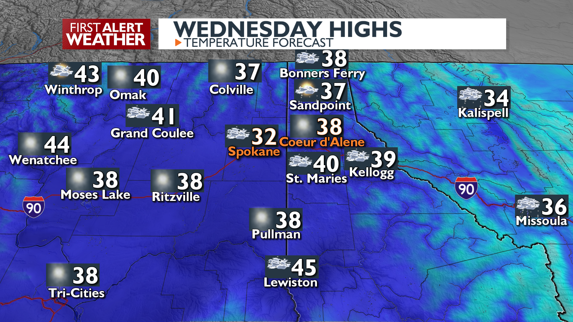
Areas of patchy fog may limit visibility on the roads through midday. Cloudy skies will keep temperatures on the cool side, while we remain dry throughout the day.
What We’re Tracking
An active weather pattern arrives starting Thursday night into Friday, bringing a mix of rain and snow, with the heaviest snow expected on mountain passes. Precipitation in Spokane and Coeur d’Alene will begin as snow on Thursday morning and switch to a winter mix later in the day. On the West Plains out to the Grand Coulee, freezing rain is possible and would create some slippery road conditions.
Further east in the I-90 corridor, a mixture of sleet and wet snow will give way to rain as Thursday turns to Friday. Snow accumulations will be minimal for valleys in this warmer environment, 1-2 inches in the central Idaho panhandle and up to an inch around Spokane and Coeur d’Alene. If cold air hangs in there a little longer on Friday, the Idaho Panhandle could see some areas approach 3 inches of soggy wet snow from this storm.
Extended Forecast
COPYRIGHT 2025 BY KXLY. ALL RIGHTS RESERVED. THIS MATERIAL MAY NOT BE PUBLISHED, BROADCAST, REWRITTEN OR REDISTRIBUTED.