Precipitation will change through the day to a messy winter mix. Rain and warmer weather are coming eventually, but heavy mountain snow will impact travel in North Idaho into the weekend.
Plan your Thursday
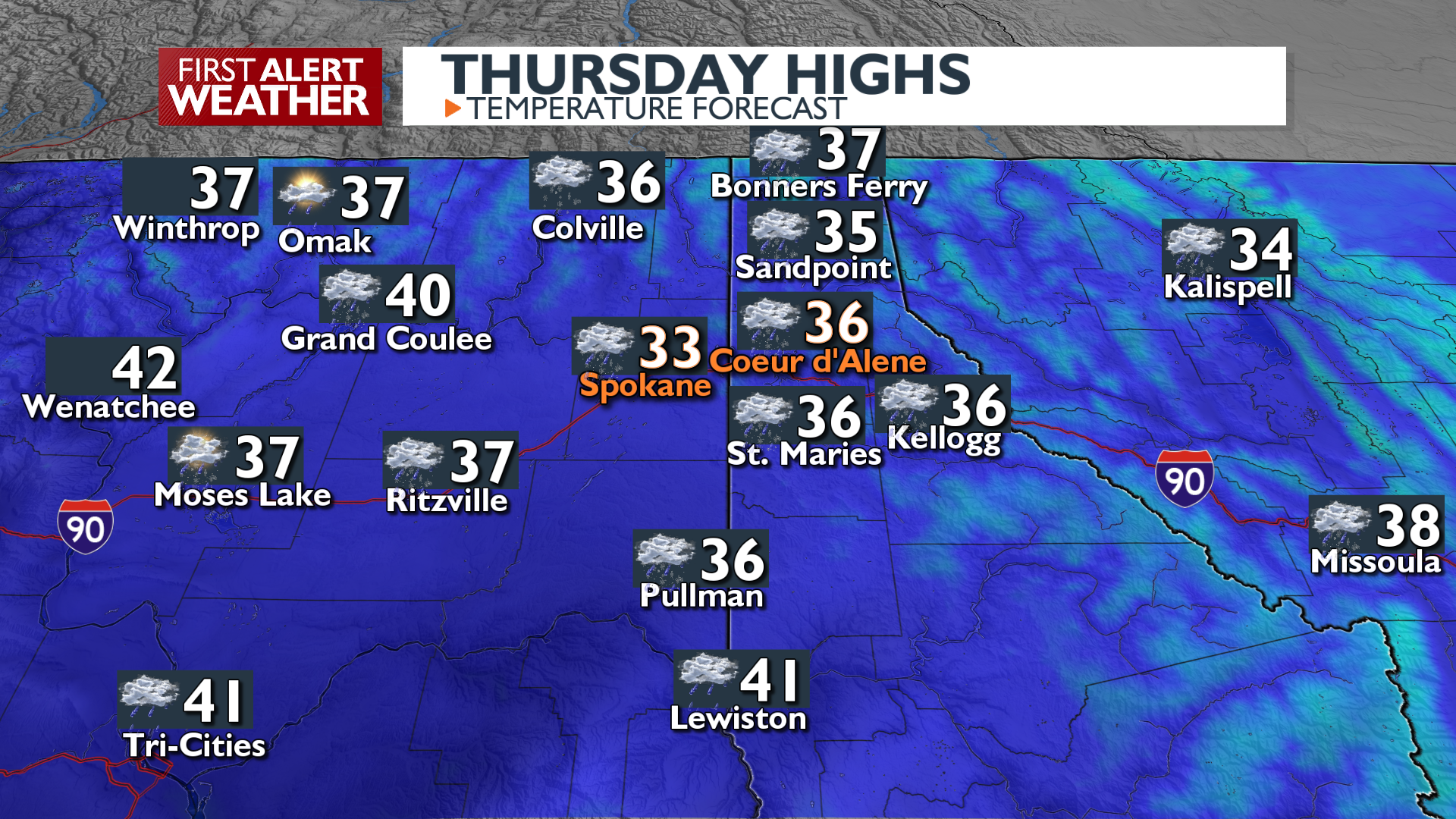
Snow levels will slowly climb this afternoon as temperatures inch a degree or two above freezing. The warmer afternoon weather will keep snow from sticking and diminish the threat of freezing rain. Snow will still have the potential to cause issues on the roads in the central panhandle where it will stay a little colder.
What We’re Tracking
Warming temperatures will transition the precipitation to rain in most valley locations by Friday afternoon. Gusty winds will come along for the ride on Friday as well. In North Idaho and Northeast Washington, the day will begin with wet snow that could add up to an inch or two, depending on how long it takes for the warmer air to dig into our northern valleys. Many northern valleys could get more snow on Friday than they will today.
Heavy snow is coming for Lookout Pass. The most likely total by the end of Friday is around 12 inches! Drive carefully between Wallace and St. Regis on the I-90 during the next 36 hours.
Looking ahead to next week, a wet pattern associated with an atmospheric river will bring continued rain and melt, raising concerns for rock slides in the mountains and higher river levels, though no flooding is currently forecast.
Extended Forecast
COPYRIGHT 2025 BY KXLY. ALL RIGHTS RESERVED. THIS MATERIAL MAY NOT BE PUBLISHED, BROADCAST, REWRITTEN OR REDISTRIBUTED.