The pattern of cold mornings and crisp, clear afternoons continues late into this week.
What We’re Tracking
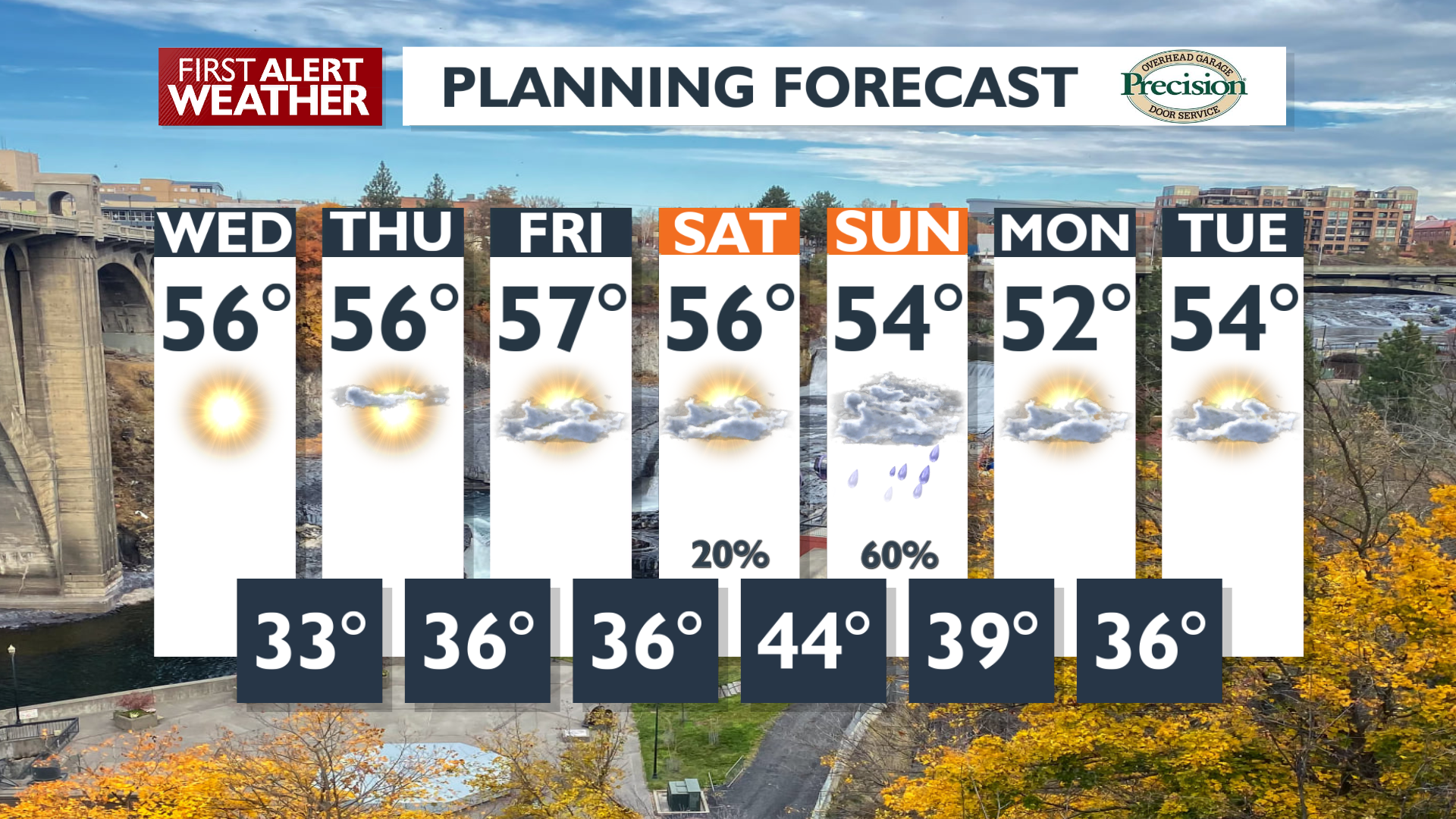
Expect cold overnight temperatures near freezing through early Thursday morning before there’s any sign of warming. Dry weather with seasonable daytime temperatures is expected through Thursday, in the mid-to-upper 50s. Patchy fog will remain an issue until winds and overnight temperatures start picking up on Friday.
Rain and high mountain snow are anticipated this weekend. Snow levels will remain above most mountain passes, while we expect wet and gusty conditions on Sunday. We’ll be watching for some spotty shower activity Friday and Saturday ahead of the storm, but it won’t be enough to wreck any plans you have for those days.
Plan your Wednesday
Extended Forecast
COPYRIGHT 2025 BY KXLY. ALL RIGHTS RESERVED. THIS MATERIAL MAY NOT BE PUBLISHED, BROADCAST, REWRITTEN OR REDISTRIBUTED.