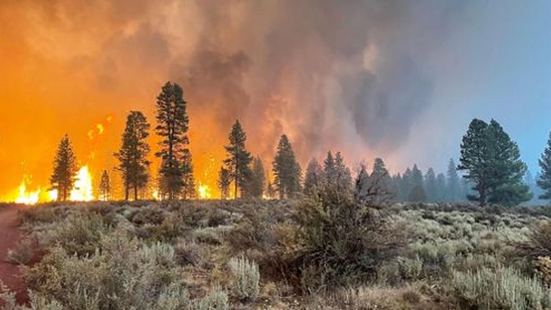
SPOKANE, Wash – Fire season is upon us and with rising temperatures and dry fuels, fires can ignite anywhere and anytime. An interactive map makes it easy to track what’s burning wherever you are.
The City of Spokane links to this map, on the Western Fire Chiefs website.
You can see wildfires burning anywhere in the country with basic information about how much is burning, how much it has grown and how many firefighters are on the scene.
Sources vary from Pulse Point to the Integrated Reporting of Wildfire Information page, with the source listed on each incident.
The most recent fires show up with a red icon, while older fires have a gray icon.
While the map does not include specific information about evacuations, it can at least give you the basic information about a fire burning in your area.
Watch Duty is another popular website and app for wildfires. The information there comes largely from an automated system that monitors 911 dispatch, but is also monitored by volunteers that include former firefighters and dispatchers.
Information from any of these sites should be used with caution and be followed up by finding information from fire districts and organizations in the immediate area.

