SPOKANE, Wash.– Winter has finally arrived in the Lilac City.
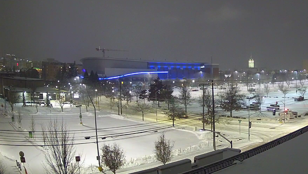
For the first time this season, Spokane had multiple days with 1 inch of snow or more. As of noon on Wednesday, Spokane totaled over 17 inches of snow for the winter, up 4 inches from the start of February.
Prior to this week, the character of this winter in the Inland Northwest was different north of I-90 compared to the south. While everyone experienced mild conditions, mild in our northern counties still leads to snow. In the case of warm, moisture-laden weather systems it would sometimes bring a lot of snow to places like Waterville, Loon Lake, Newport, Colville, Metaline Falls, and Sandpoint.
Elsewhere however, these warm systems brought so much warmth that the precipitation was rain instead of snow. Snow that fell in the morning often melted by lunchtime. If you didn’t turn a snow shovel until this week, you were certainly not alone.
The start to snow season this year, from November through the first week of January, was the warmest in 70 years. Temperatures have been more normal since then, but barely a drop of rain or flake of snow fell across the region for three weeks.
In Spokane that’s led to this winter still being the least-snowy in ten years, even with the new snow this week. The city would have to double-up on the snow it’s had so far in just a few weeks.
Check out more snow reports in the region here.
Further south in Lewiston, no measurable snow fell this winter until Tuesday. Normally the L-C Valley would expect around 8 inches of snow by early February. However, since Lewiston only averages 12.5 inches of snow per winter, that somehow could still be in reach.
Temperatures look like they will stay cool for at least the next week, meaning more snow could be on the way if this active pattern continues.
COPYRIGHT 2025 BY KXLY. ALL RIGHTS RESERVED. THIS MATERIAL MAY NOT BE PUBLISHED, BROADCAST, REWRITTEN OR REDISTRIBUTED.