SPOKANE, Wash. — It snowed briefly in Spokane early Friday morning, but quickly turned to a downpour of rain as the Lilac City woke up to start the day. Rain was expected at some point on Friday, but not as early as it actually happened. How did Spokane miss out on the snow almost entirely?
A look at weather balloon data reveals the answer. The National Weather Service in Spokane launches a balloon to sample the atmosphere twice a day: 4 a.m. and 4 p.m. The following chart shows the 4 a.m. launch on Friday morning.
The red line represents the temperature measured by the balloon as it rises into the sky. The further right on the chart, the warmer the temperature is. What this reveals is that despite temperatures being around freezing, the air only a few hundred feet above the ground was well above freezing. This is a recipe for snow to melt before it reaches the ground. The Spokane International Airport weather station shows that the storm began with snow but quickly switched to a mix and then to just rain as that thin layer of cold air was eaten away.
Meanwhile down in the bottom of the Spokane river valley at Felts Field along Trent, there was a few hundred more feet of freezing air to fall through. That led to freezing rain for a couple of hours before the warm air layer could mix down into the valley bottom at around 5:30 a.m. That means that any possible chance for snow was long gone before most Spokanites got out of bed.
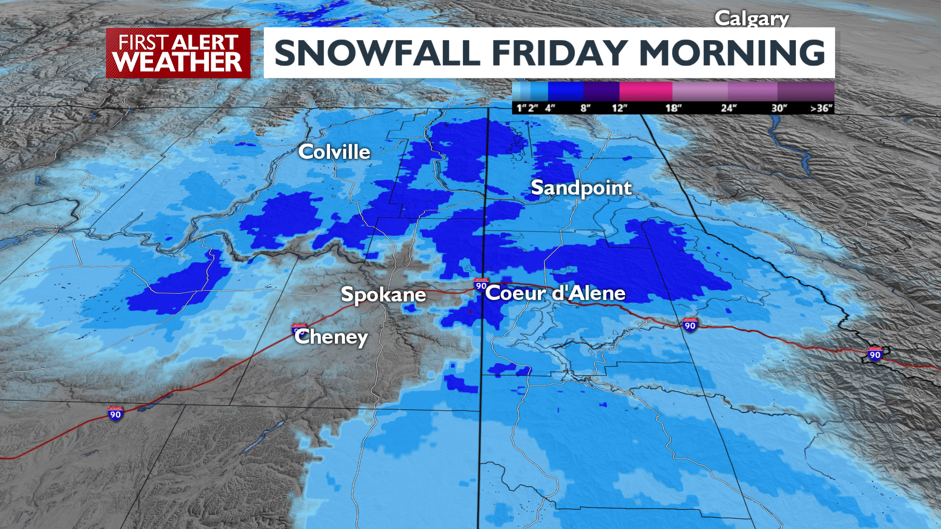
How did the warm-up happen so much faster than anticipated? On Thursday temperatures warmed up extremely fast to the mid-40s, which was also warmer than expected. That likely led to Spokane not being able to cool enough overnight to hold off the northward push of warm air from this storm. Further north where it was cloudier and the cold air from the past week was deeper and more established, temperatures did not warm up much at all on Thursday. That led to several more hours on Friday for snow to fall in places like Newport, Sandpoint, Loon Lake and others north of the I-90 corridor.
This chain of events is easy to point out after the fact, but is much harder to predict beforehand. During many of our winter storms, the line between rain and snow will often set up within a few miles north or south of Spokane and Coeur d’Alene. It is the most challenging thing to forecast in this part of the country.
Here at 4 News Now, the First Alert Weather Team is committed to keeping you informed and ready for any impactful weather, but at the end of the day Mother Nature determines the final outcome.
The lack of snow on Friday means the Lilac City begins February with only 13.0 inches of snow for the winter so far. That’s the least amount of snow at this point in the season since 2010.
COPYRIGHT 2025 BY KXLY. ALL RIGHTS RESERVED. THIS MATERIAL MAY NOT BE PUBLISHED, BROADCAST, REWRITTEN OR REDISTRIBUTED.


