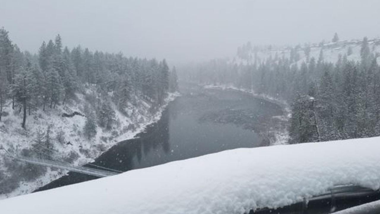
SPOKANE, Wash.– It’s mid-December, and for many people around the Inland Northwest snow hasn’t come around since before Thanksgiving. 2.6 inches of snow through December 11 is the slowest start to winter snow in 10 years for the Lilac City.
Snow is in the forecast for the next few days, but the totals we anticipate aren’t going to amount to much. Check out our latest forecast here.
The second half of December is showing signs of having a similar weather pattern to the first half; long streaks of dry and cloudy conditions. High pressure is likely to take over after this weekend and could persist for over a week based on the latest long-term forecasting data.
Considering December is statistically the snowiest month of the year in Spokane, it’s going to be a tall task to get close to average by 2025.
A not-so-snowy December has historically pointed towards a mild, less-snowy winter overall in Spokane’s weather records. 4 News Now analyzed 21 years with similarities to how the 2024-2025 snow season has gone so far. Only 20% of those years ended with average or above-average snowfall (40 inches or more) come springtime.
This is not the case everywhere in the region. Towns like Wallace and Omak have had a decent amount of snowfall this winter, and mountain snowpack is around average. Even if winter looks more like a dud in the lowlands, you won’t have to go far to enjoy some winter activities.
COPYRIGHT 2024 BY KXLY. ALL RIGHTS RESERVED. THIS MATERIAL MAY NOT BE PUBLISHED, BROADCAST, REWRITTEN OR REDISTRIBUTED.