The snow turned to rain on Sunday, but it’s going to turn back in the coming days as temperatures cool. While we won’t have to worry about Monday with just a few flurries, that won’t be the case all week. A bigger storm is on the way that could make some wintry road conditions.
What We’re Tracking
Light snow showers Monday afternoon and Tuesday morningAccumulations will be minimal to none, potential for dusting TuesdayHeavier snow on Wednesday morning that will turn to rainPotential for 6″+ snow Wednesday from Chelan to the Methow Valley, Omak, and RepublicWintry pass travel through Wednesday eveningWidespread rain Thursday through the weekend
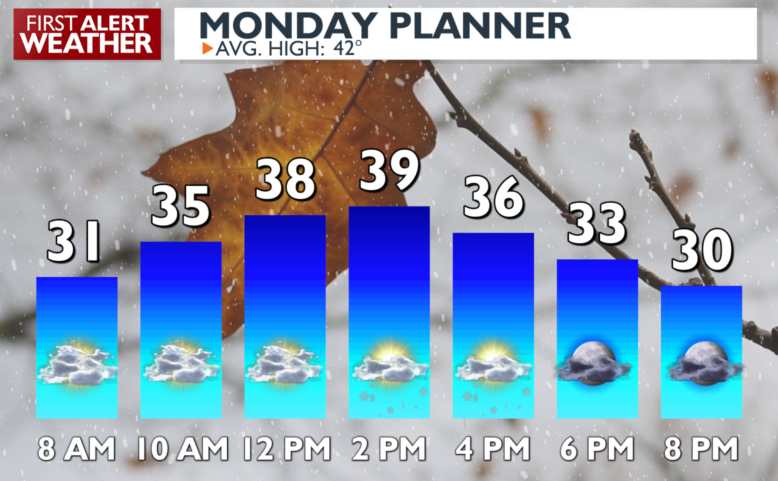
Plan your Monday
Extended Forecast
COPYRIGHT 2024 BY KXLY. ALL RIGHTS RESERVED. THIS MATERIAL MAY NOT BE PUBLISHED, BROADCAST, REWRITTEN OR REDISTRIBUTED.

