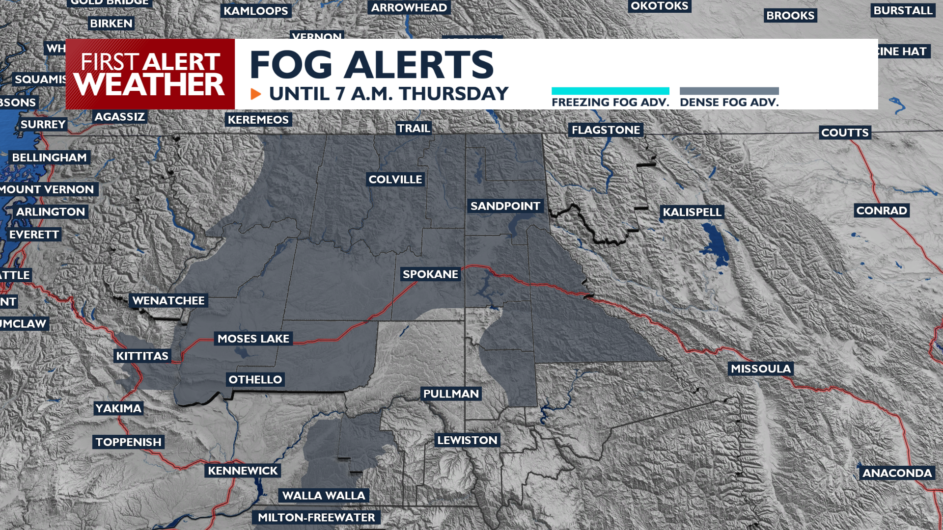
Get set for another gloomy morning. Areas of fog and low ceilings will impact valleys through mid-morning; a Dense Fog Advisory is in effect. Look for the fog to lift in the late morning followed by mostly cloudy skies through the day. Temperatures will be slightly cooler than Wednesday, in the mid to upper 50s.
Friday starts out warm. More fog is likely, followed by partly cloudy skies and highs in the upper 50s and low 60s. Rain returns Friday evening, bringing in breezy conditions and cooler air.
Snow levels will start dropping in the Cascades, enough to where it will get slushy on Stevens Pass and the North Cascades Highway. Continued rain on saturated soils poses a risk for debris flows and rock slides in the Cascades.
We’ll see partly sunny conditions at times to start the weekend with blustery winds up to 25 mph. Rain becomes more likely on Sunday and early next week. Temperatures will drop to only the mid 40s by next week, close to our seasonal averages.
COPYRIGHT 2026 BY KXLY. ALL RIGHTS RESERVED. THIS MATERIAL MAY NOT BE PUBLISHED, BROADCAST, REWRITTEN OR REDISTRIBUTED.