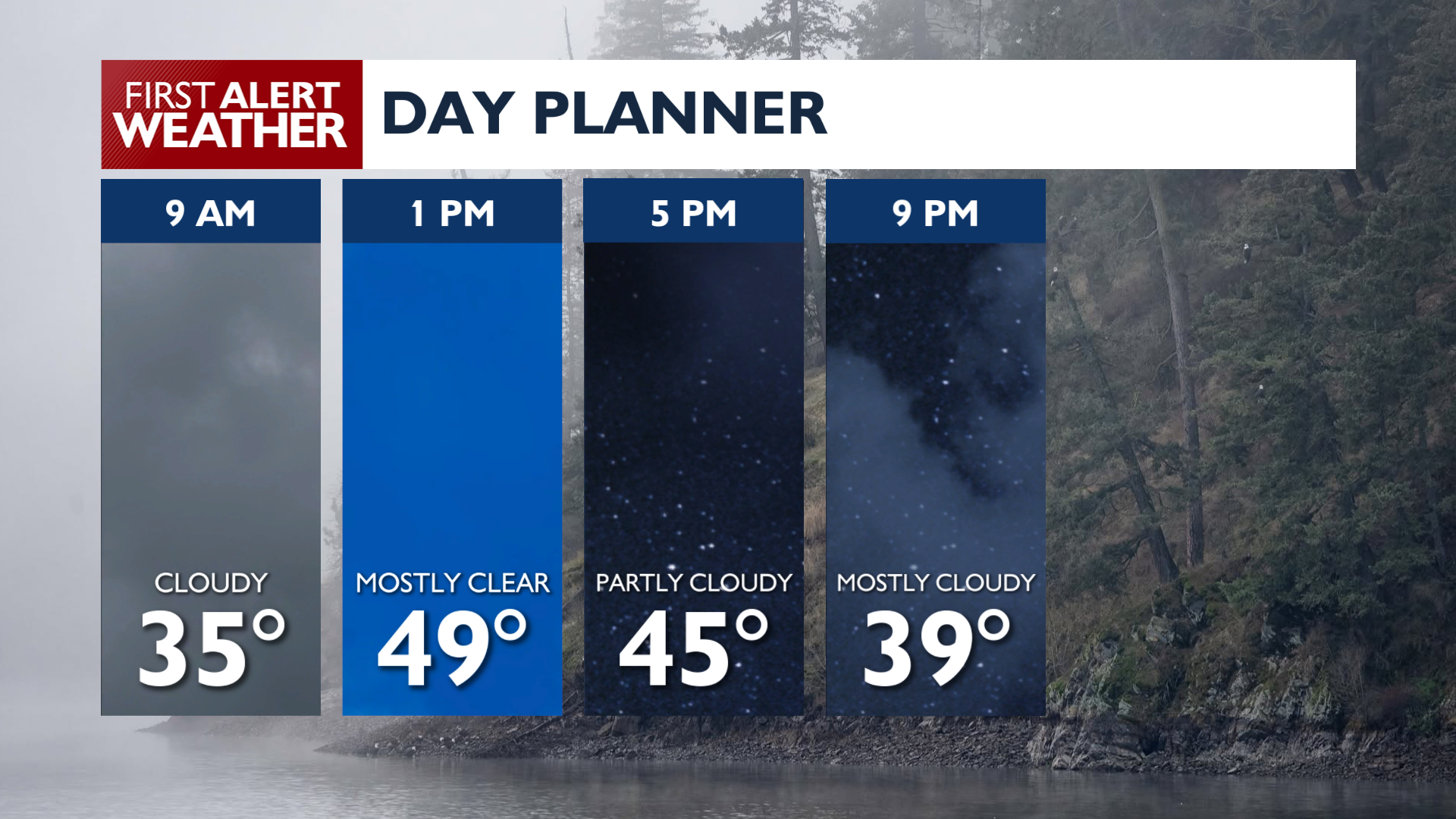
A Dense Fog Advisory remains in effect until 10 AM Monday for the Spokane and Coeur d’Alene areas, where visibility will drop at times to only one-quarter of a mile. Once the fog clears in the late morning, Monday afternoon will bring increasing high clouds with temperatures reaching the upper 40s to mid 50s. At least there will be some chance for sunshine, which isn’t always a guarantee this time of the year.
Low clouds and fog are likely to return Monday night. There will be a chance on Tuesday for a couple of sprinkles in addition to the clouds and fog as a weak weather system passes overhead.
Conditions dry out again Wednesday before a more active pattern arrives. Systems moving in Thursday and Friday will bring light valley rain and mountain snow, with snow levels falling between 4,000 and 5,000 feet. Gusty southwest winds will come with the rain chances and a warmer pattern will set up for next weekend.
COPYRIGHT 2026 BY KXLY. ALL RIGHTS RESERVED. THIS MATERIAL MAY NOT BE PUBLISHED, BROADCAST, REWRITTEN OR REDISTRIBUTED.