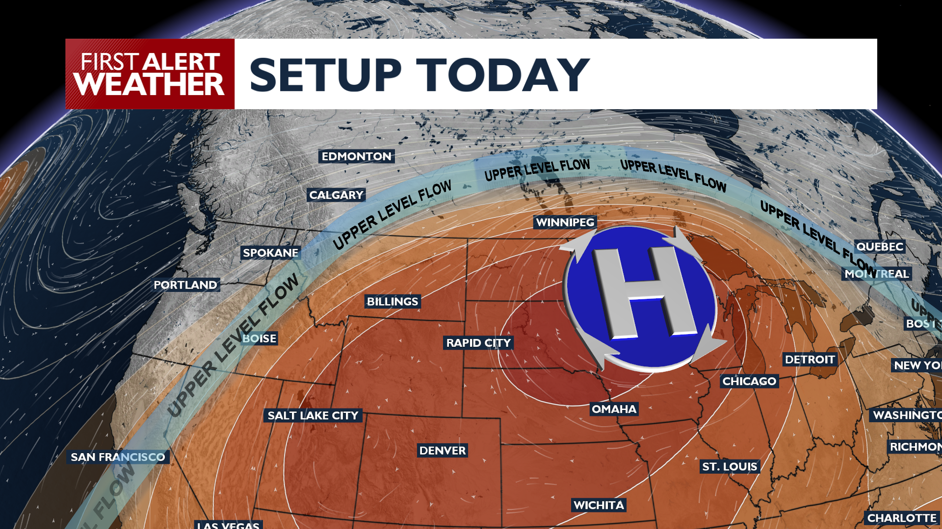
Summer heat returns today, while an unsettled forecast could lead to hotter temperatures and some potential thunderstorms later in the week.
Plan Your Monday
The sun is back, and so is the heat for Monday. Temperatures will climb into the low to mid 90s for most valley areas. Breezy southerly winds in the Okanogan Valley will create more elevated fire weather conditions in Central Washington.
What We’re Tracking
The heat intensifies on Tuesday in the Columbia Basin with some upper 90s, while temperatures stay about the same in Spokane and Coeur d’Alene thanks to cloudier skies. By Tuesday night, moisture moves into southeastern Washington and the Idaho Panhandle, bringing a chance for dry thunderstorms and lightning that could lead to new fire starts Wednesday and Thursday.
Hot temperatures may ease slightly to end the week, but will crank up again for the weekend.
Extended Forecast
COPYRIGHT 2026 BY KXLY. ALL RIGHTS RESERVED. THIS MATERIAL MAY NOT BE PUBLISHED, BROADCAST, REWRITTEN OR REDISTRIBUTED.


