Tuesday brings more clouds and mountain showers and will be our last gloomier day before the 4th of July.
Plan Your Tuesday
This morning brings another small chance of showers, with rain most likely before 1 p.m. in our northern mountains. Because the ground is saturated from yesterday’s rain in Northeast Washington, slow-moving showers could produce heavy rainfall and localized urban or small stream flooding.
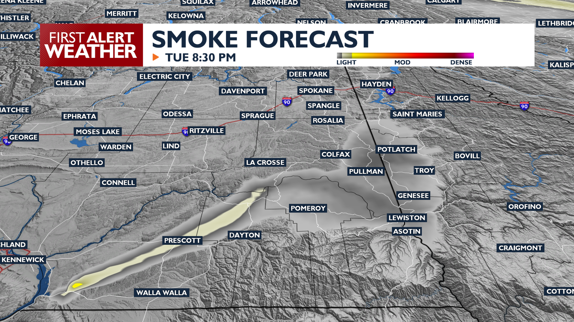
High temperatures in Spokane will reach 70 degrees, with a light breeze in the afternoon out of the West-Southwest. Smoke from fires near the Tri-Cities will swing into the Palouse and L-C Valley this afternoon and evening instead of the Spokane area like last night. Cloudy skies will gradually turn to partly cloudy or even mostly sunny at times before sunset.
What We’re Tracking
Drier conditions arrive Wednesday through Friday as mountain showers become less frequent. Temperatures will gradually warm from the mid-70s into the 80s and 90s just in time for the Fourth of July weekend. By Sunday, the Inland Northwest will see a rise in temperatures that could lead to Minor HeatRisk across the region.
Extended Forecast
COPYRIGHT 2026 BY KXLY. ALL RIGHTS RESERVED. THIS MATERIAL MAY NOT BE PUBLISHED, BROADCAST, REWRITTEN OR REDISTRIBUTED.