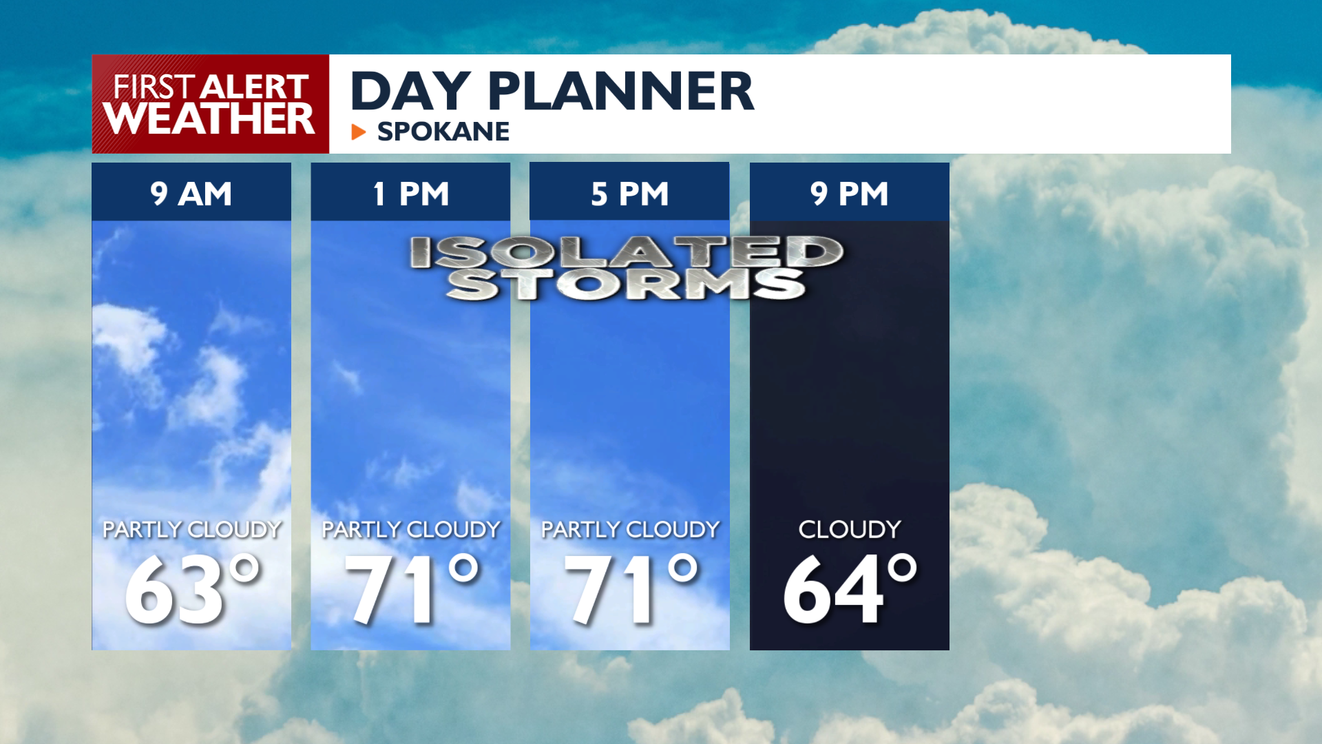
It will be a much less eventful day of weather, but that doesn’t mean rain and thunderstorms won’t be in the area.
Plan Your Friday
Friday brings scattered showers and thunderstorms to the Cascades, Northeast Washington, and the Idaho Panhandle mountains. These storms will not be as intense as the ones last night. However, lightning, strong breezes, and heavy rain all remain possible with any storm that forms today. West to southwest winds will increase Friday afternoon and Friday evening, reaching sustained speeds of 15 to 25 mph and gusts up to 35 mph. Temperatures will also cool significantly, but will still be on the warm side of average in the 70s.
What We’re Tracking
The weather settles down for most of the region Saturday, though a low pressure system moving into Montana will start to wrap moisture back westward toward Idaho and Washington. This brings a 20 to 30 percent chance of showers Sunday and Monday. Highs will stay in the mid 60s in North Idaho this weekend while Central Washington enjoys more sunshine and temperatures warming into the 70s.
Extended Forecast
COPYRIGHT 2026 BY KXLY. ALL RIGHTS RESERVED. THIS MATERIAL MAY NOT BE PUBLISHED, BROADCAST, REWRITTEN OR REDISTRIBUTED.