Expect gusty winds again today, along with light mountain snow showers, before a beautiful, sunny, and much warmer pattern arrives for the weekend.
Plan Your Thursday
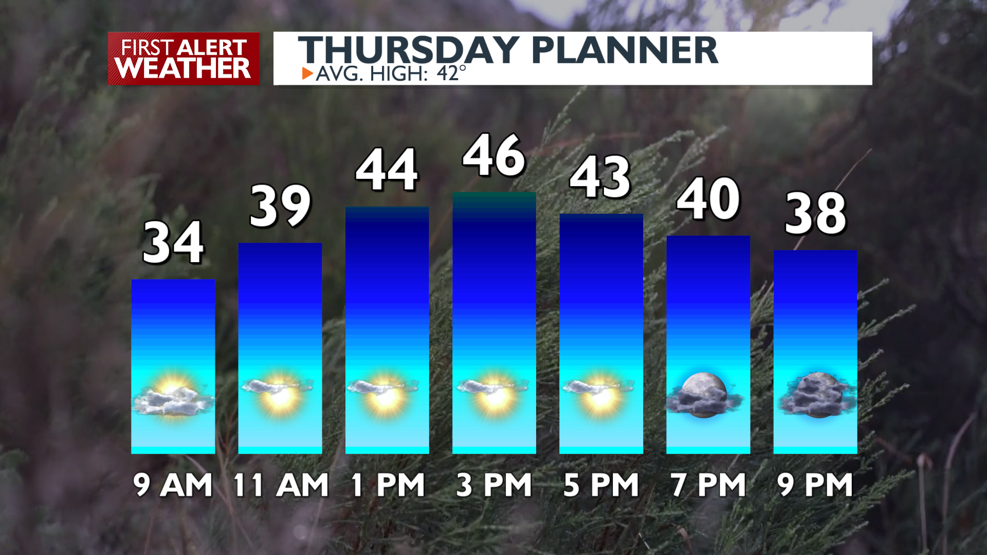
Thursday brings more gusty winds and light mountain snow. Expect west winds to gust between 30 and 35 mph on Thursday afternoon and evening, with some gusts around 40 in the Columbia Basin. In the mountains, Stevens Pass could see up to 4 inches of fresh snow while Snoqualmie Pass and Lookout Pass see lighter accumulations. It will be a little cloudy early, but quite sunny in the afternoon. Highs will reach the mid-40s. Cloudiness returns this evening as mountain snow pushes north to south through the night.
What We’re Tracking
Breezy conditions continue through Friday before a pleasant change arrives for the weekend. Highs climb into the upper 40s on Saturday and Sunday under plenty of sunshine. By Monday and Tuesday, temperatures will soar into the 50s. Another pattern change is likely during the middle of next week that will bring rain back into the forecast.
Extended Forecast
COPYRIGHT 2026 BY KXLY. ALL RIGHTS RESERVED. THIS MATERIAL MAY NOT BE PUBLISHED, BROADCAST, REWRITTEN OR REDISTRIBUTED.