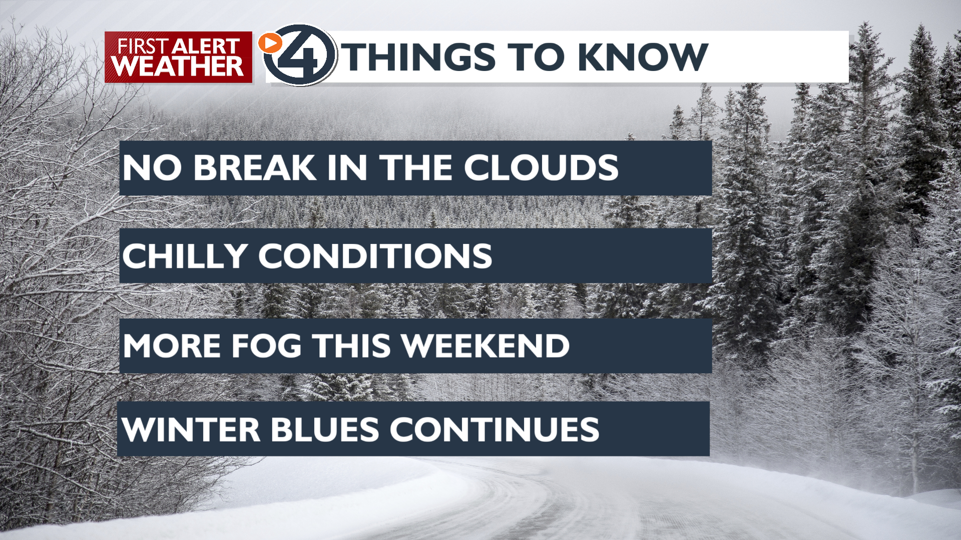
Hello there! Our weather pattern remains stubbornly consistent, with high-pressure systems continuing to dominate the Inland Northwest. This keeps the sun mostly behind a layer of low cloud coverage.
Wednesday will bring chilly conditions with calm winds and no precipitation. The cloud layer is holding steady between 4,000 and 5,000 feet, allowing plenty of sunshine to reach our mountain peaks and passes. Expect highs to hover right around the freezing mark.
The Spokane region is in need of a storm to break the grip of high pressure over the Northwest. There’s a slight chance of some precipitation on Sunday and Monday. While modest, any system could help disrupt the current pattern.
Looking ahead to the next seven days, we expect the recent weather trend to continue, with highs in the mid-30s and mostly to partly cloudy skies. We may see a few sunbreaks on Friday and Saturday. Temperatures could warm up next week, while overnight lows dip into the teens late Friday and Saturday nights.
Have a great day!
– Jason
COPYRIGHT 2025 BY KXLY. ALL RIGHTS RESERVED. THIS MATERIAL MAY NOT BE PUBLISHED, BROADCAST, REWRITTEN OR REDISTRIBUTED.