Winter weather makes a big return this week after a warm, rainy weekend. Monday will be fairly uneventful before the first round of snow arrives tomorrow.
Plan your Monday
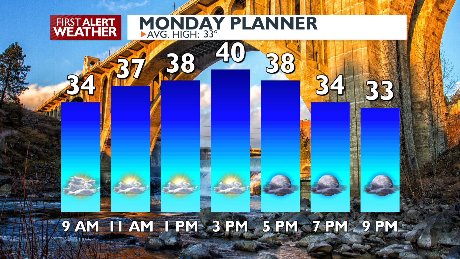
Some light valley rain and mountain snow will linger in North Idaho and the Cascades through the morning. Temperatures will peak in the upper 30s to 40s this afternoon. Conditions will be mostly dry with only very light snow in the mountains of the Idaho Panhandle during the daytime.
What We’re Tracking
The first of a few rounds of snow we expect this week arrives in the late morning on Tuesday. Temperatures will be warming above freezing around Spokane and Coeur d’Alene which will limit snow amounts with this first round in the metro. Further north it will be a little colder, so places from Deer Park and Athol northward to the US-Canada border will have a strong chance to see multiple inches of snow before the day is over. A WINTER STORM WATCH is in effect from Tuesday through Thursday in North Idaho. Mountain passes could see up to 3 feet of snow in the next four days while in the valleys there will be a wide range of totals; as little as 2 inches with as much as 8 inches in a few spots. Snow will be harder to find in Eastern Washington during this period, with 1 to 3 inches expected around Spokane by the end of the week.
Extended Forecast
COPYRIGHT 2025 BY KXLY. ALL RIGHTS RESERVED. THIS MATERIAL MAY NOT BE PUBLISHED, BROADCAST, REWRITTEN OR REDISTRIBUTED.