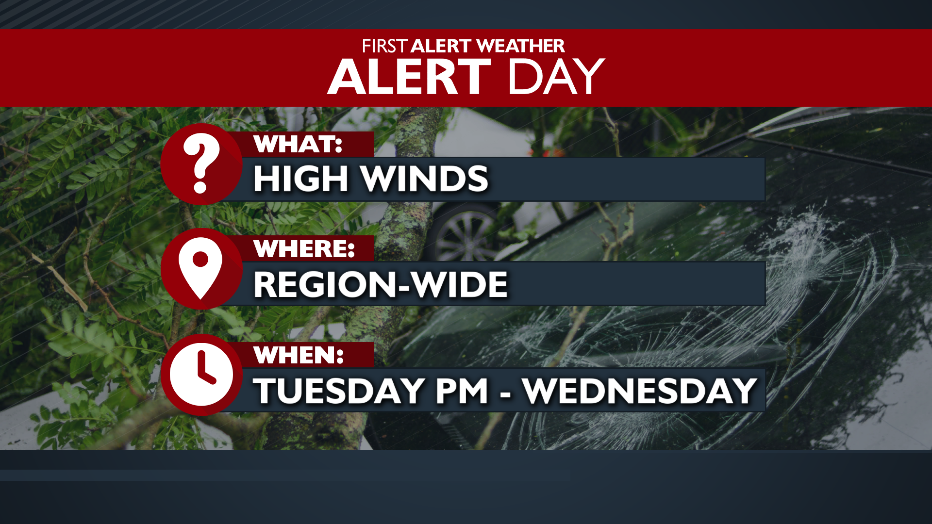
It’s set to be another impactful week of weather in the Inland Northwest. This includes two 4 News Now Weather Alert Days on Tuesday and Wednesday for the possibility of severe conditions.
Plan Your Monday
Expect widespread rain this morning as the next storm enters our region. Gusty winds will begin starting this morning in the Columbia Basin and continue into early the next morning. Wind gusts could reach 45 mph. The windiest part of the day will be around dinnertime. A Wind Advisory is in effect in Eastern Washington.
Rain will die down for the second half of the day while temperatures soar to the middle and upper 50s.
What We’re Tracking
Another system arrives tomorrow, bringing stronger winds and another round of rain from Tuesday into Wednesday. A High Wind Watch is in effect with a higher chance of these gusts being damaging, 50 to 60 mph, with gusts in the mountains approaching 70. Because of the high wind risk, we’ve declared Tuesday and Wednesday as Weather Alert Days.
This system will lower snow levels, transitioning precipitation to heavy snow in the mountains starting overnight, with 1 to 3 feet possible for the Cascades by the following day. Rivers and streams are expected to run high through the entire period, increasing mud and rock slide concerns, especially in the Cascades and Idaho Panhandle. Flood Watches are in effect in these areas through Wednesday.
Extended Forecast
COPYRIGHT 2025 BY KXLY. ALL RIGHTS RESERVED. THIS MATERIAL MAY NOT BE PUBLISHED, BROADCAST, REWRITTEN OR REDISTRIBUTED.