We’re cloudy, but we’re dry too heading into Wednesday afternoon. Dry skies won’t last for too long. Wetter conditions are on their way to wrap up the workweek.
Plan Your Wednesday
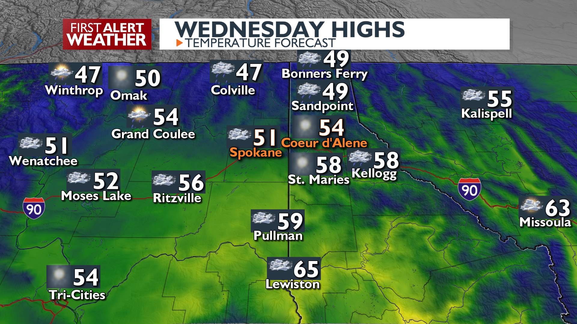
Light rain in our northern valleys tapers off quickly this afternoon. Temperatures will be warm for this time of the year, in the upper 40s and 50s under mostly cloudy skies. We’ll stay mostly cloudy into the night, which could mess up our chances of seeing the northern lights again.
What We’re Tracking
More dynamic weather arrives Thursday, bringing increasing rain from the west that continues into the evening before slowly tapering off on Friday. Snow levels will drop Thursday night into Friday, but with this storm coming in pretty warm, we won’t see much more than a little bit of slush on our mountain passes. It will become breezy late Thursday and especially Friday, with wind gusts near 15 to 25 mph. Another weather system arrives Sunday into early Monday, bringing renewed chances rain to end the weekend and a better chance of mountain pass snow.
Extended Forecast
COPYRIGHT 2025 BY KXLY. ALL RIGHTS RESERVED. THIS MATERIAL MAY NOT BE PUBLISHED, BROADCAST, REWRITTEN OR REDISTRIBUTED.