OMAK, Wash. — Two funnel clouds were spotted in Okanogan County on Monday, according to updated storm reports from the National Weather Service (NWS).
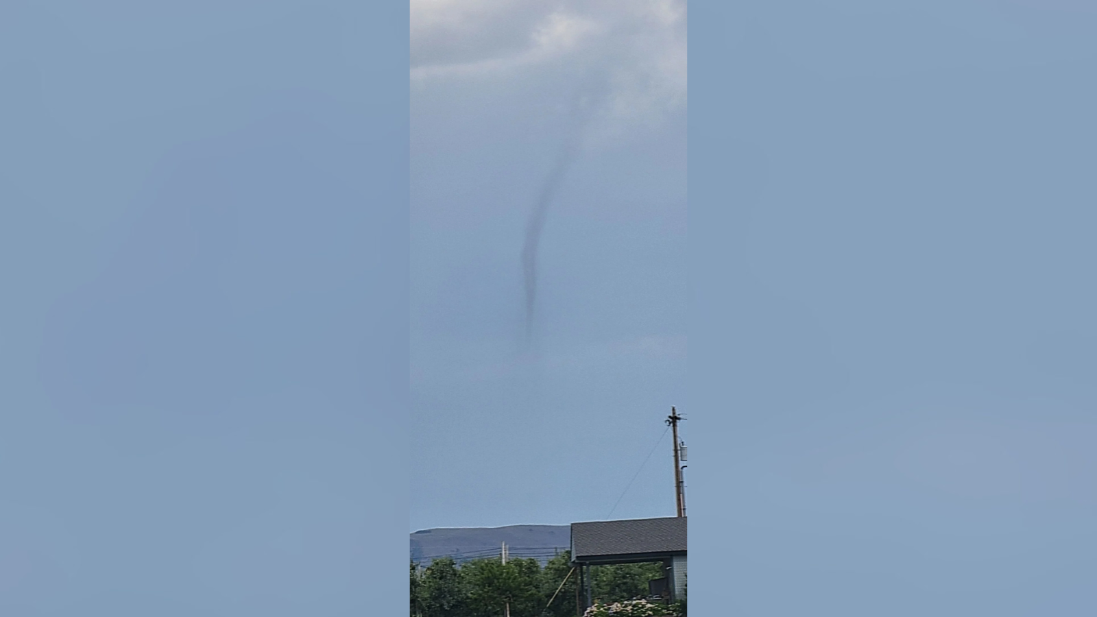
The first funnel appeared around 3 p.m. near the town of Brewster, which sits south of Omak along the Columbia River. Vince Hogan, an NWS storm spotter, took this photo of the funnel cloud.
A few hours later, the NWS received reports of another funnel cloud between Wauconda and Tonasket in the Okanogan Highlands. The report says the funnel may have briefly touched down, becoming a tornado for several seconds before dissipating.
Both reports describe what are known as cold air funnels to meteorologists and weather enthusiasts.
These are weak structures that typically form beneath regular, garden-variety thunderstorms on days with little to no threat of severe weather. They hardly ever touch down and are too small to be seen on radar. It is rare for them to cause damage or even touch down. They often form when the air higher up in the atmosphere is especially cold.
The Inland Northwest often sees these cold air funnels. 4 News Now reported on many of them over the years.
Hayden, 2024
Pullman, 2020
Spokane, 2019
COPYRIGHT 2025 BY KXLY. ALL RIGHTS RESERVED. THIS MATERIAL MAY NOT BE PUBLISHED, BROADCAST, REWRITTEN OR REDISTRIBUTED.