SPOKANE, Wash.– The first week in April is normally when the snowpack around the Inland Northwest hits its high point before melting off over the next three months.
This year, the snowpack sits close to the historical normal. The Spokane River basin is at 93% of normal as of April 2. The average amount of water in the snowpack is 22.9 inches, six inches more than this time last year and about 4 inches less than in 2023.
The Blue Mountains are faring best in our region, 20% more snowpack than their normal for this week. The worst faring region is the Kettle Range and the North Cascades at less than 80% of normal.
Snowpack likely peaked ahead of the heat wave in late March when valley temperatures set all-time record highs for March. Snowpack measurements in the Spokane basin dropped two inches last week as a result.
If you want to see more detailed snowpack maps, click or tap here.
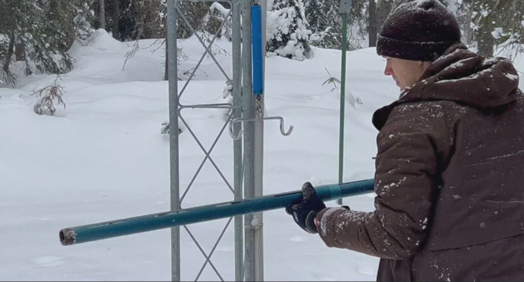
Snowpack in the Inland Northwest is melting off more quickly in recent years. Check out this special report from 2024 to learn more.
COPYRIGHT 2025 BY KXLY. ALL RIGHTS RESERVED. THIS MATERIAL MAY NOT BE PUBLISHED, BROADCAST, REWRITTEN OR REDISTRIBUTED.

