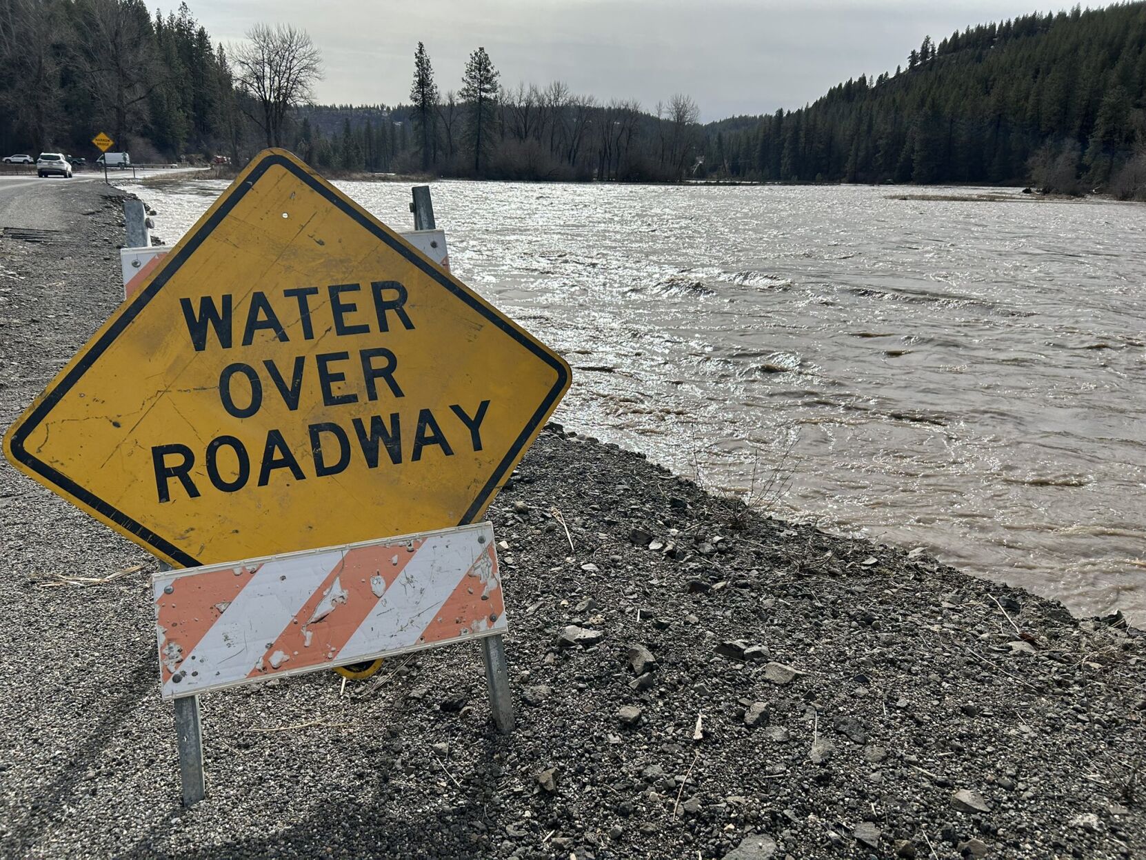
SPOKANE, Wash.– An unusual February came down to this; some of the worst flooding in many years across the Palouse region. Without an especially-snowy February, it might have never happened.
In Spokane the month of February brought 15.9″ of snow before the weekend, double the average.
A week ago the region still had much of that snow from earlier in the month. There were 9 inches of snow on the ground. Of those 9 inches, 7 melted during the weekend storms.
On average, snow has a 10-to-1 relationship with liquid water. In other words, 10 inches of snow equals about 1 inch of rain. From Saturday to Sunday, about 0.7 inches of water was released from the snow in the Spokane area. Add that to the 0.7 inches of rain that fell over the weekend, and you can see the problem. The melting snow essentially doubled the amount of water entering the river systems all at once.
Around the Palouse, the amount of water that melted was even higher. According to maps from the NOAA Office of Water Prediction, parts of the Palouse saw 2 to 3 inches of water melt off on Sunday. Add that to the 1 to 1.5 inches of rain over the weekend, and you have flooding that’s almost two-thirds composed of snowmelt. When added up over thousands of square miles, it’s an astronomical amount of water to deal with. That’s why the river gauges saw a rapid peak into flood stage, followed by a just-as-rapid fall in the following days. With the lowland snow all gone, the next big rain event won’t have nearly the impact this latest one did. Meanwhile, the National Weather Service said on Wednesday that much of the high-elevation snowpack in northern Washington and Idaho absorbed the weekend rain. This should pay dividends in the spring with more water available to be gradually melted away into our rivers and streams.
COPYRIGHT 2025 BY KXLY. ALL RIGHTS RESERVED. THIS MATERIAL MAY NOT BE PUBLISHED, BROADCAST, REWRITTEN OR REDISTRIBUTED.