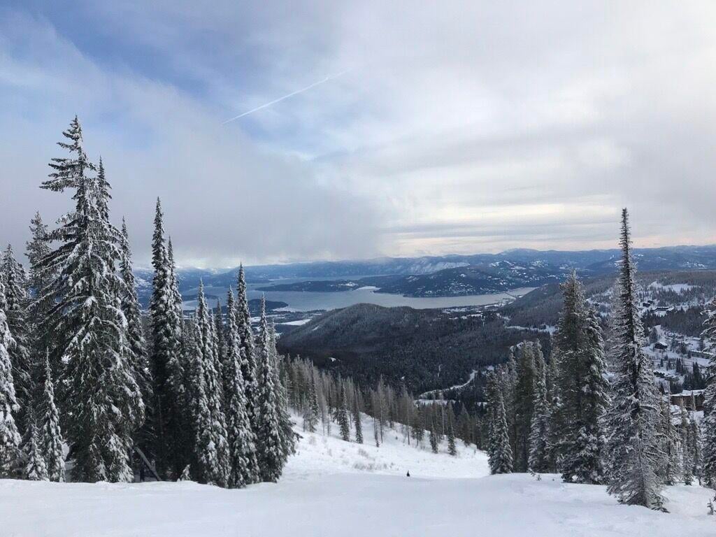
SPOKANE, Wash. — After a difficult season last winter, snowpack in the Inland Northwest is off to one of the best starts in the last decade. It’s almost double what it was this time last year.
Since 2015, only the 2022-23 winter was higher on this day in the Spokane River Basin. That may seem impressive, but in the total snowpack record that goes back to the 1980s, it’s merely average. This would have been a below-average snowpack from the 1980s into the early 2000s. Climate change continues to reveal itself with slow starts to the snowpack in November and December, followed by faster melting in the spring.
However, in the context of the past 20 years, our snowpack is in a good place for late December; about one-third of the way to when snowpack usually peaks in early April.
Some ups and downs are coming soon however. Snow levels heading into the weekend will rise up to around 7,000 feet, which means some melting and the possibility of rain in the high country instead of snow. Cooler temperatures and heavier snow will be a possibility again after the Christmas holiday.
COPYRIGHT 2024 BY KXLY. ALL RIGHTS RESERVED. THIS MATERIAL MAY NOT BE PUBLISHED, BROADCAST, REWRITTEN OR REDISTRIBUTED.