Spokane, Wash. – The powerful wind storm that hit the region Wednesday shares many similarities with some of the strongest wind events in modern history, particularly the storms of January 2021 and November 2015. The peak gust recorded at Spokane International Airport was only four miles per hour below the winds seen in the destructive 2015 storm.
While the November 2015 storm remains a unique event, Wednesday’s storm is fairly similar to the one that struck in January 2021.
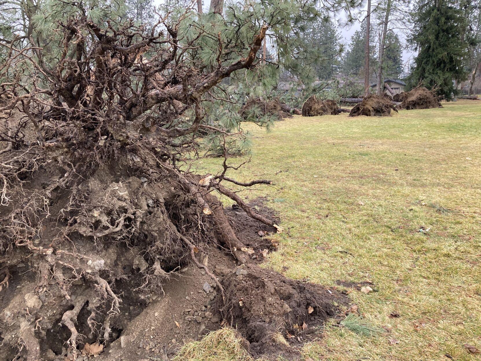
Both storms were preceded by heavy rainfall from an atmospheric river, which saturated the ground. This is a crucial factor, as the wet soil makes it easier for strong winds to uproot trees. The rain loosens up the rocky, hard-packed soil in our region, making it more susceptible to wind damage.
Additionally, both storms caused a significant temperature spike. The temperatures on Wednesday, as well as on January 13, 2021, soared into the 50s. The tropical origins of these storms help warm up the atmosphere, and when a cold front moves in at the storm’s conclusion, the rapid shift from warm, wet conditions to cooler, drier weather creates turbulent mixing. This combination of factors allows severe winds, typically found higher in the atmosphere, to reach the ground and wreak havoc.
While rain is often seen as just an inconvenience, in cases like this wind storm, the seemingly harmless weather conditions beforehand contributed to the severity of the winds and overall storm impact. In this way, atmospheric river-type storms may need to be taken more seriously in the future.
COPYRIGHT 2024 BY KXLY. ALL RIGHTS RESERVED. THIS MATERIAL MAY NOT BE PUBLISHED, BROADCAST, REWRITTEN OR REDISTRIBUTED.