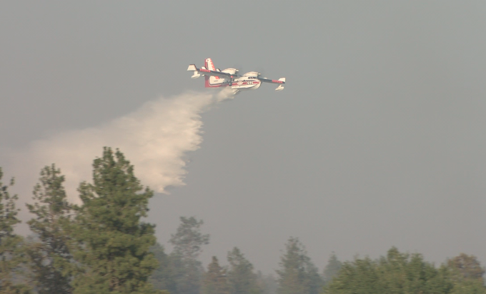
SPOKANE, Wash.– Temperatures in the Inland Northwest will reach their hottest readings in three weeks over the holiday weekend. Along with the heat will come added fire danger as vegetation dries out around the region.
Dryness indexes across the Northern Rockies and Pacific Northwest will rise with the temperatures over the next several days. Conditions are expected to become extremely dry for early September from I-90 south to the Salmon River according to a briefing from the Northern Rockies Coordination Center.
Areas around the Blue Mountains in Washington and Oregon will also see extremely dry conditions by Labor Day with triple-digit heat in many of those valleys on Sunday.
Further north, rain and cool temperatures in the last three weeks have eased off fire danger, but this heat wave should return vegetation to where it was in the beginning of August when wildfires were more active.
Winds will begin to pick up on Labor Day as a low-pressure system moves into the Northwest. In addition to gusty winds, thunderstorms will be possible in some areas Monday and/or Tuesday. Windy weather after a hot spell is a common early fall and late summer setup for active fire behavior.
Consider this your First Alert to be fire aware on Monday when many fire weather factors could be ongoing in our area. Count on the KXLY First Alert Weather team to keep you alert to changing conditions this weekend.
COPYRIGHT 2024 BY KXLY. ALL RIGHTS RESERVED. THIS MATERIAL MAY NOT BE PUBLISHED, BROADCAST, REWRITTEN OR REDISTRIBUTED.

